Latitude: 54.486 / 54°29'9"N
Longitude: -0.6194 / 0°37'9"W
OS Eastings: 489538
OS Northings: 510950
OS Grid: NZ895109
Mapcode National: GBR SJ3K.PN
Mapcode Global: WHG9Y.GH8T
Plus Code: 9C6XF9PJ+C6
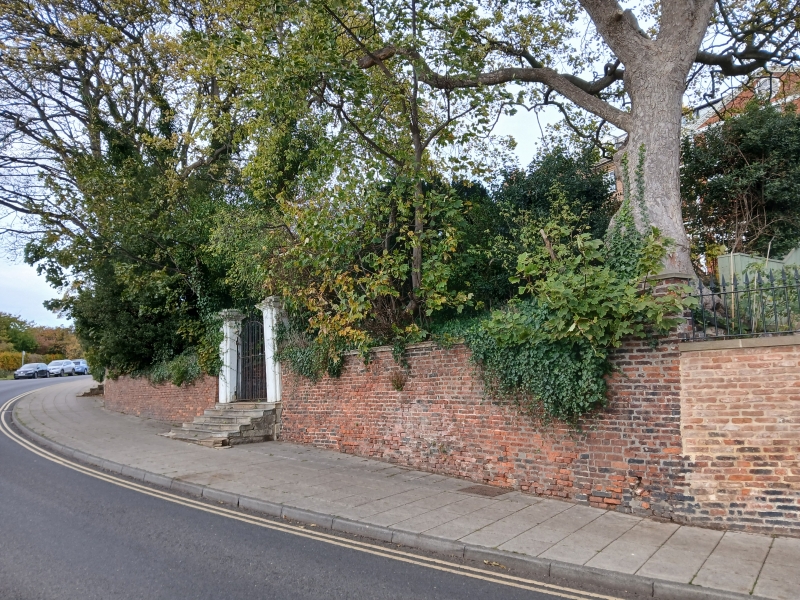
Entry Name: Garden Wall and Gatepiers to Number 17
Listing Date: 4 December 1972
Grade: II
Source: Historic England
Source ID: 1253880
English Heritage Legacy ID: 437198
ID on this website: 101253880
Location: Whitby, North Yorkshire, YO21
County: North Yorkshire
District: Scarborough
Civil Parish: Whitby
Built-Up Area: Whitby
Traditional County: Yorkshire
Lieutenancy Area (Ceremonial County): North Yorkshire
Church of England Parish: Whitby St Mary
Church of England Diocese: York
Tagged with: Wall
1. 18ll ST HIIDA'S TERRACE
Garden wall and gatepiers to No 17 NZ 8910 3/175A
II GV
2. Garden wall and piers with urns. NMR.
Nos 1 to 25 (censec). Gardens Wall and Gatepiers form a group.
See General Group Value note under the heading for ST HILDA'S TERRACE.
Listing NGR: NZ8953810950
External links are from the relevant listing authority and, where applicable, Wikidata. Wikidata IDs may be related buildings as well as this specific building. If you want to add or update a link, you will need to do so by editing the Wikidata entry.


Other nearby listed buildings