Latitude: 53.6608 / 53°39'39"N
Longitude: -2.3209 / 2°19'15"W
OS Eastings: 378893
OS Northings: 418309
OS Grid: SD788183
Mapcode National: GBR DV73.BF
Mapcode Global: WH97J.B72W
Plus Code: 9C5VMM6H+8M
Entry Name: The Tentering Tower
Listing Date: 5 December 1991
Last Amended: 10 March 1992
Grade: II
Source: Historic England
Source ID: 1254273
English Heritage Legacy ID: 185847
ID on this website: 101254273
Location: Chatterton, Rossendale, Lancashire, BL0
County: Lancashire
District: Rossendale
Town: Rossendale
Electoral Ward/Division: Eden
Parish: Non Civil Parish
Built-Up Area: Ramsbottom
Traditional County: Lancashire
Lieutenancy Area (Ceremonial County): Lancashire
Church of England Parish: Stubbins St Philip
Church of England Diocese: Manchester
Tagged with: Tower
SD 71 NE THE TENTERING TOWER Stubbins Vale Road (Also known as The Wet 255-0/9/10001 Tower)
Formerly listes as THE WET TOWER)
II
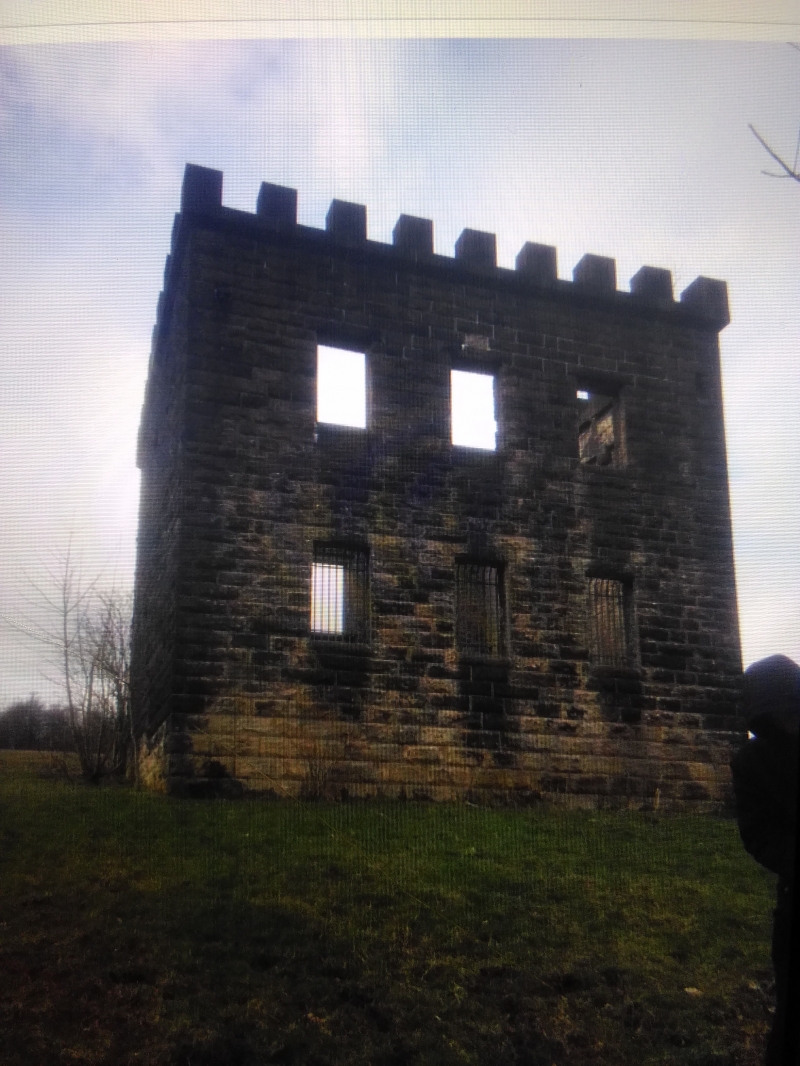
Cloth store associated with former tenterfields; now derelict. 1866, for Porritt's Stubbins Vale Mill; raised c.1880. Coursed rock-faced sandstone, except the west wall which is of coursed rubble; no roof. Square plan. Designed as an eye-catcher. Formerly single-storey, now 2 storeys, 3 windows, symmetrical; with simple oversailing battlements to the north, east and south sides. The architectural front to the east has 3 unglazed vertical-rectangular windows on each floor; both sides have one similar window on each floor; and the entrance front to the west has a large round-headed doorway in the centre of the ground floor and a loading doorway above this approached by stone steps flush with the wall to the right (but now mostly fallen), both flanked by windows like those at the front but that to the right at ground floor now blocked. Interior now a void. History: used to store cloths before and after they were stretched on tenters; shown in a photograph of c.1870 as a single-storey building, with cloths on long tenter-frames in the field to the rear of it.
Listing NGR: SD7889318309
External links are from the relevant listing authority and, where applicable, Wikidata. Wikidata IDs may be related buildings as well as this specific building. If you want to add or update a link, you will need to do so by editing the Wikidata entry.


Other nearby listed buildings