Approximate Location Map
Large Map »
Latitude: 52.7065 / 52°42'23"N
Longitude: -2.7506 / 2°45'2"W
OS Eastings: 349381
OS Northings: 312361
OS Grid: SJ493123
Mapcode National: GBR BJ.2HJB
Mapcode Global: WH8BT.Q7DF
Plus Code: 9C4VP64X+JQ
Entry Name: 18, Wyle Cop
Listing Date: 19 September 1972
Grade: II
Source: Historic England
Source ID: 1255103
English Heritage Legacy ID: 458416
ID on this website: 101255103
Location: Shrewsbury, Shropshire, SY1
County: Shropshire
Civil Parish: Shrewsbury
Built-Up Area: Shrewsbury
Traditional County: Shropshire
Lieutenancy Area (Ceremonial County): Shropshire
Church of England Parish: Shrewsbury St Chad
Church of England Diocese: Lichfield
Tagged with: Building
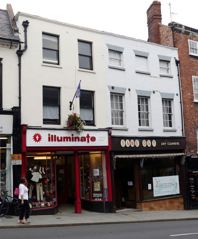
SHREWSBURY
SJ4912SW WYLE COP
653-1/15/708 (North side)
19/09/72 No.18
GV II
Shop. Late C18. Render over brick with roof not visible behind
parapet. 3 storeys, 2-window range with early C20 fascia over
shop front and 2-pane sash windows. Parapet eaves.
Listing NGR: SJ4938112361
External links are from the relevant listing authority and, where applicable, Wikidata. Wikidata IDs may be related buildings as well as this specific building. If you want to add or update a link, you will need to do so by editing the Wikidata entry.


Other nearby listed buildings
