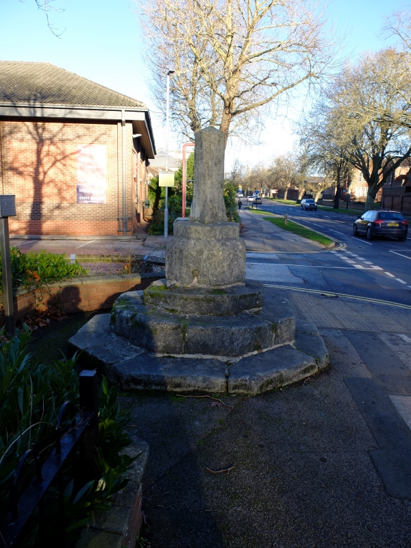
Latitude: 53.9437 / 53°56'37"N
Longitude: -1.0741 / 1°4'26"W
OS Eastings: 460869
OS Northings: 450130
OS Grid: SE608501
Mapcode National: GBR NQYV.71
Mapcode Global: WHFC9.G4QJ
Plus Code: 9C5WWWVG+F8
Entry Name: Fulford Cross
Listing Date: 19 August 1971
Grade: II
Source: Historic England
Source ID: 1257807
English Heritage Legacy ID: 463440
ID on this website: 101257807
Location: York, North Yorkshire, YO10
County: York
Electoral Ward/Division: Fishergate
Parish: Non Civil Parish
Built-Up Area: York
Traditional County: Yorkshire
Lieutenancy Area (Ceremonial County): North Yorkshire
Church of England Parish: Fulford St Oswald
Church of England Diocese: York
YORK
SE65SW FULFORD ROAD 1112-1/2/354 (West side) 19/08/71 Fulford Cross
II
Boundary cross. C15. Limestone. Octagonal on plan. Truncated broach stopped octagonal shaft approximately 0.6 metre high, on deep base raised on 3 steps. (An Inventory of the Historical Monuments of the City of York: RCHME: Outside the City Walls East of the Ouse: HMSO: 1975-: 54).
Listing NGR: SE6086950130


Other nearby listed buildings