Latitude: 52.1838 / 52°11'1"N
Longitude: -2.1543 / 2°9'15"W
OS Eastings: 389548
OS Northings: 253959
OS Grid: SO895539
Mapcode National: GBR 1GF.25T
Mapcode Global: VH92V.LCZR
Plus Code: 9C4V5RMW+G7
Entry Name: Churchyard Wall
Listing Date: 3 August 1972
Grade: II
Source: Historic England
Source ID: 1258383
English Heritage Legacy ID: 444693
ID on this website: 101258383
Location: All Saints' Church, Spetchley, Wychavon, Worcestershire, WR5
County: Worcestershire
District: Wychavon
Civil Parish: Spetchley
Traditional County: Worcestershire
Lieutenancy Area (Ceremonial County): Worcestershire
Church of England Parish: White Ladies Aston with Churchill and Spetchley
Church of England Diocese: Worcester
Tagged with: Churchyard wall
SPETCHLEY SPETCHLEY
1.
2301
Churchyard Wall
SO 95 SE 4/760
II GV
2.
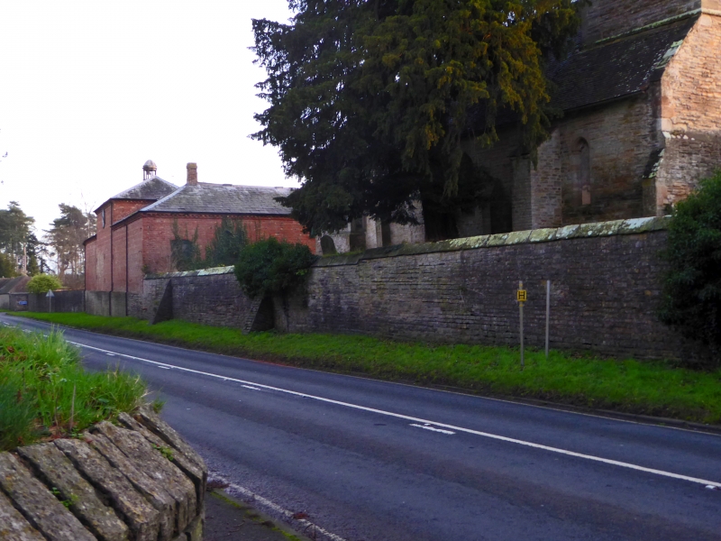
Stone wall with coping. Coursed rubble. With dates 1629 and 1714.
Church of All Saints, Churchyard Wall, Spetchley Hall and Stables form a
group.
Listing NGR: SO8954853959
External links are from the relevant listing authority and, where applicable, Wikidata. Wikidata IDs may be related buildings as well as this specific building. If you want to add or update a link, you will need to do so by editing the Wikidata entry.


Other nearby listed buildings