Approximate Location Map
Large Map »
Latitude: 52.1694 / 52°10'9"N
Longitude: -2.1836 / 2°11'0"W
OS Eastings: 387541
OS Northings: 252362
OS Grid: SO875523
Mapcode National: GBR 1GD.SX4
Mapcode Global: VH92V.3QHT
Plus Code: 9C4V5R98+QH
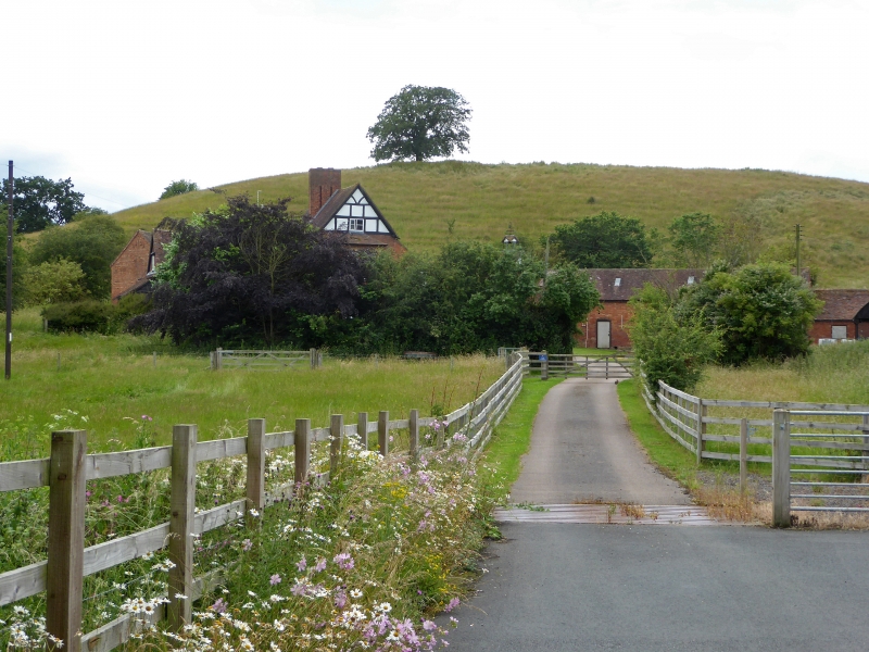
Entry Name: Crookbarrow Farmhouse
Listing Date: 3 August 1972
Grade: II
Source: Historic England
Source ID: 1259111
English Heritage Legacy ID: 445445
ID on this website: 101259111
Location: Wychavon, Worcestershire, WR5
County: Worcestershire
District: Wychavon
Civil Parish: Whittington
Traditional County: Worcestershire
Lieutenancy Area (Ceremonial County): Worcestershire
Church of England Parish: Worcester, St Martin with St Peter and Whittington
Church of England Diocese: Worcester
Tagged with: Farmhouse
WHITTINGTON WHITTINGTON
1.
2301
Crookbarrow farmhouse
SO 85 SE 4/873
II
2.
C17. Timber frame revealed in gable end and rear. Much altered and largely
faced with modern brick.
Listing NGR: SO8754152362
External links are from the relevant listing authority and, where applicable, Wikidata. Wikidata IDs may be related buildings as well as this specific building. If you want to add or update a link, you will need to do so by editing the Wikidata entry.


Other nearby listed buildings
