Approximate Location Map
Large Map »
Latitude: 51.2818 / 51°16'54"N
Longitude: 1.0808 / 1°4'50"E
OS Eastings: 614946
OS Northings: 158137
OS Grid: TR149581
Mapcode National: GBR TY2.J37
Mapcode Global: VHLGM.P17P
Plus Code: 9F3373JJ+P8
Entry Name: Red Brick Garden Wall to No 20
Listing Date: 7 September 1973
Grade: II
Source: Historic England
Source ID: 1260810
English Heritage Legacy ID: 439412
ID on this website: 101260810
Location: Canterbury, Kent, CT1
County: Kent
District: Canterbury
Electoral Ward/Division: Westgate
Parish: Non Civil Parish
Built-Up Area: Canterbury
Traditional County: Kent
Lieutenancy Area (Ceremonial County): Kent
Tagged with: Architectural structure
1.
944 KING STREET
(North West Side)
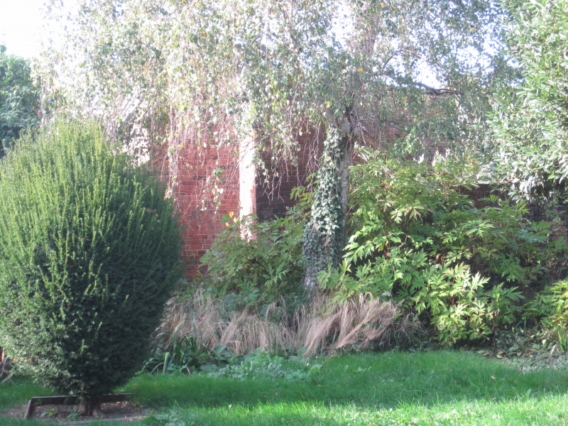
Red brick garden wall
to No 20
TR 1458 SE 2/301A
II GV
2.
Early C19. This incorporates fragments of mediaeval masonry, probably from
Blackfriars Monastery.
Nos 16 to 22 (consec), Red brick garden to No 20, St Alphage Church Hall,
Outbuilding, railings, post and wall at St Alphege Church Hall form a group.
Listing NGR: TR1494658137
External links are from the relevant listing authority and, where applicable, Wikidata. Wikidata IDs may be related buildings as well as this specific building. If you want to add or update a link, you will need to do so by editing the Wikidata entry.


Other nearby listed buildings
