Latitude: 53.4581 / 53°27'29"N
Longitude: -2.8707 / 2°52'14"W
OS Eastings: 342283
OS Northings: 396054
OS Grid: SJ422960
Mapcode National: GBR 7X2.YC
Mapcode Global: WH872.WB5T
Plus Code: 9C5VF45H+6P
Entry Name: Gellings Farmhouse
Listing Date: 28 January 1971
Grade: II
Source: Historic England
Source ID: 1261892
English Heritage Legacy ID: 436395
ID on this website: 101261892
Location: Knowsley, Merseyside, L34
County: Knowsley
Civil Parish: Knowsley
Built-Up Area: Kirkby
Traditional County: Lancashire
Lieutenancy Area (Ceremonial County): Merseyside
Church of England Parish: Knowsley St Mary
Church of England Diocese: Liverpool
Tagged with: Farmhouse
1. 2487 KNOWLSEY KNOWSLEY
Gelling's Farmhouse SJ 49 NW 6/36
II
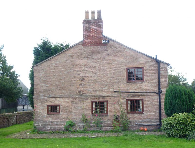
2. C17-C18. Stone, large blocks at base, graded smaller on succeeding upper courses, slate roof, 2 storeys, double band at first floor. Front has two 3-light sliding sash windows on each floor (each light of 15 panes). Outshut to right has a similar window on each floor, and a modern timber porch added in angle. Gable end to right has some blocked earlier windows.
Listing NGR: SJ4228396054
External links are from the relevant listing authority and, where applicable, Wikidata. Wikidata IDs may be related buildings as well as this specific building. If you want to add or update a link, you will need to do so by editing the Wikidata entry.


Other nearby listed buildings