Latitude: 51.4997 / 51°29'59"N
Longitude: -0.167 / 0°10'1"W
OS Eastings: 527330
OS Northings: 179459
OS Grid: TQ273794
Mapcode National: GBR 6J.PK
Mapcode Global: VHGQZ.2K2N
Plus Code: 9C3XFRXM+V6
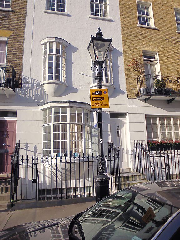
Entry Name: Lamp Standard Outside Number 4
Listing Date: 1 December 1987
Grade: II
Source: Historic England
Source ID: 1264486
English Heritage Legacy ID: 427769
ID on this website: 101264486
Location: Knightsbridge, Westminster, London, SW7
County: London
District: City of Westminster
Electoral Ward/Division: Knightsbridge and Belgravia
Parish: Non Civil Parish
Built-Up Area: City of Westminster
Traditional County: Middlesex
Lieutenancy Area (Ceremonial County): Greater London
Church of England Parish: Holy Trinity South Kensington
Church of England Diocese: London
Tagged with: Streetlight
TQ 2779 SW CITY OF WESTMINSTER STERLING STREET, SW7 95/55 (west side) Lamp standard outside No 4. GV II Lamp standard. C19. Cast iron. Polygonal lantern. Chamfered shaft. Included for group value only.
Listing NGR: TQ2733079459
External links are from the relevant listing authority and, where applicable, Wikidata. Wikidata IDs may be related buildings as well as this specific building. If you want to add or update a link, you will need to do so by editing the Wikidata entry.


Other nearby listed buildings