Approximate Location Map
Large Map »
Latitude: 50.7612 / 50°45'40"N
Longitude: -1.2976 / 1°17'51"W
OS Eastings: 449633
OS Northings: 95973
OS Grid: SZ496959
Mapcode National: GBR 89R.2S3
Mapcode Global: FRA 8752.G92
Plus Code: 9C2WQP62+FW
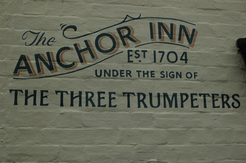
Entry Name: Anchor Inn
Listing Date: 9 August 1979
Grade: II
Source: Historic England
Source ID: 1267558
English Heritage Legacy ID: 418315
Also known as: The Anchor Inn, Cowes
ID on this website: 101267558
HIGH STREET
1.
5270
West Cowes
(west side)
No 1
(Anchor Inn)
SZ 4995 NE 3/44
II
2.
Early C19. Three storeys painted brick. Parapet conceals roof. Two sashes
and a central blank, with glazing bars intact except for the ground floor right
hand window. Cornices with console brackets to windows. Central round-headed
door case.
Listing NGR: SZ4963395973
External links are from the relevant listing authority and, where applicable, Wikidata. Wikidata IDs may be related buildings as well as this specific building. If you want to add or update a link, you will need to do so by editing the Wikidata entry.


Other nearby listed buildings
