Latitude: 51.3873 / 51°23'14"N
Longitude: 0.5244 / 0°31'27"E
OS Eastings: 575747
OS Northings: 168391
OS Grid: TQ757683
Mapcode National: GBR PPP.TND
Mapcode Global: VHJLV.1DL9
Plus Code: 9F329GPF+WQ
Entry Name: Chest Tomb Approximately 20 Metres South of Chancel, Church of St Mary the Virgin
Listing Date: 21 November 1996
Grade: II
Source: Historic England
Source ID: 1268223
English Heritage Legacy ID: 462081
ID on this website: 101268223
Location: Chatham, Medway, Kent, ME4
County: Medway
Electoral Ward/Division: River
Parish: Non Civil Parish
Built-Up Area: Chatham
Traditional County: Kent
Lieutenancy Area (Ceremonial County): Kent
Church of England Parish: Chatham St Mary and St John
Church of England Diocese: Rochester
Tagged with: Chest tomb
CHATHAM
TQ7568SE DOCK ROAD 762-1/2/4 (West side) Chest tomb approx. 20 metres south of chancel, Church of St Mary the Virgin
GV II
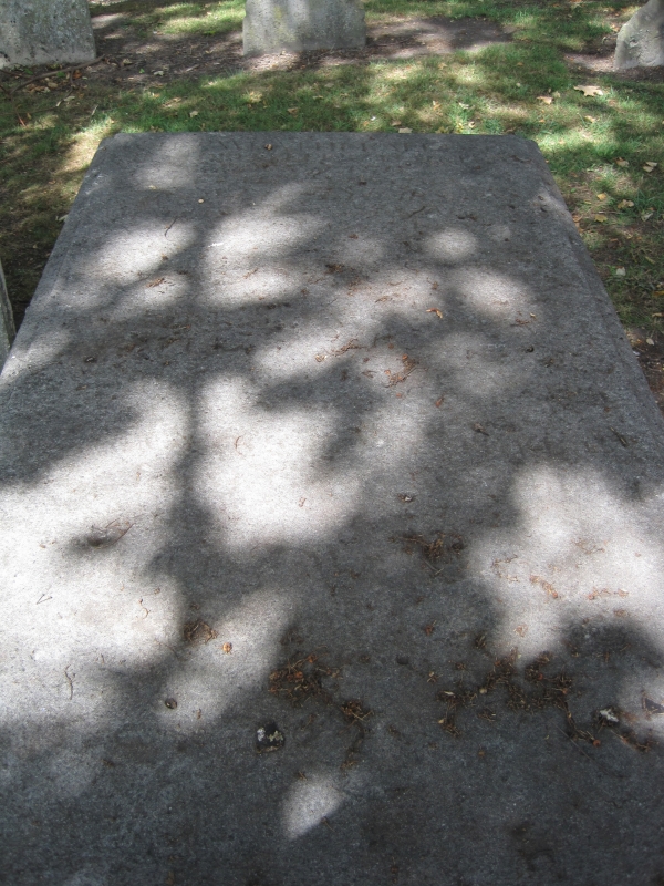
Chest tomb. Late C18-early C19. Limestone ashlar. Rectangular with cyma-moulded base, set forward at the corners beneath reeded fluted corner pilasters, raised panels to front and sides, and moulded top. Inscription not visible.
Listing NGR: TQ7574768391
External links are from the relevant listing authority and, where applicable, Wikidata. Wikidata IDs may be related buildings as well as this specific building. If you want to add or update a link, you will need to do so by editing the Wikidata entry.


Other nearby listed buildings