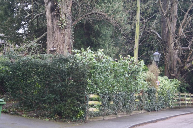
Latitude: 51.2671 / 51°16'1"N
Longitude: 0.1866 / 0°11'11"E
OS Eastings: 552644
OS Northings: 154266
OS Grid: TQ526542
Mapcode National: GBR MN4.D0L
Mapcode Global: VHHPS.6D0Z
Plus Code: 9F32758P+RM
Entry Name: Gas Lamp Standard Outside Tall Firs
Listing Date: 5 May 1988
Grade: II
Source: Historic England
Source ID: 1272489
English Heritage Legacy ID: 449108
ID on this website: 101272489
Location: Sevenoaks, Kent, TN13
County: Kent
District: Sevenoaks
Civil Parish: Sevenoaks
Built-Up Area: Sevenoaks
Traditional County: Kent
Lieutenancy Area (Ceremonial County): Kent
Church of England Parish: Kippington St Mary
Church of England Diocese: Rochester
Tagged with: Gas streetlight
OAKHILL ROAD TQ 55 SW 0/990 Gas Lamp Standard outside Tall Firs - II
Gas lamp standard. c1890. Cast iron. Tapering lantern with central urn finial and acroteria at ends on fluted cylindrical column. One of a series of gas lamp standards in Oakhill Road.
Listing NGR: TQ5264454266
External links are from the relevant listing authority and, where applicable, Wikidata. Wikidata IDs may be related buildings as well as this specific building. If you want to add or update a link, you will need to do so by editing the Wikidata entry.


Other nearby listed buildings