Approximate Location Map
Large Map »
Latitude: 50.9199 / 50°55'11"N
Longitude: 0.7065 / 0°42'23"E
OS Eastings: 590324
OS Northings: 116875
OS Grid: TQ903168
Mapcode National: GBR QY1.CDC
Mapcode Global: FRA D6CN.WKZ
Plus Code: 9F22WP94+XH
Entry Name: Ruins of St John's Hospital
Listing Date: 3 August 1961
Grade: II
Source: Historic England
Source ID: 1276093
English Heritage Legacy ID: 410282
ID on this website: 101276093
Location: Winchelsea, Rother, East Sussex, TN36
County: East Sussex
District: Rother
Civil Parish: Icklesham
Built-Up Area: Winchelsea
Traditional County: Sussex
Lieutenancy Area (Ceremonial County): East Sussex
Church of England Parish: Winchelsea
Church of England Diocese: Chichester
Tagged with: Hospital building
TQ 91 NW
ICKLESHAM
HASTINGS ROAD, WINCHELSEA
25/1
Ruins of St John's Hospital
3.8.61
II
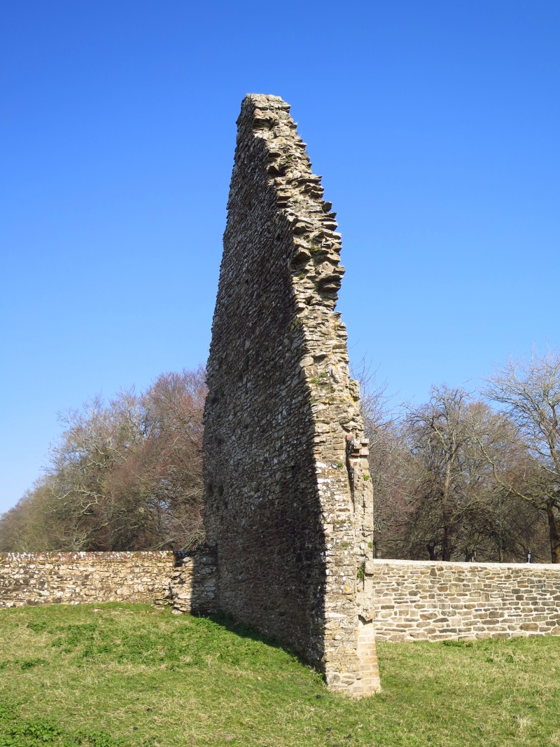
Stone rubble wall with gable end of the medieval hospital of St John.
Listing NGR: TQ9032416875
External links are from the relevant listing authority and, where applicable, Wikidata. Wikidata IDs may be related buildings as well as this specific building. If you want to add or update a link, you will need to do so by editing the Wikidata entry.


Other nearby listed buildings
