Approximate Location Map
Large Map »
Latitude: 50.7278 / 50°43'40"N
Longitude: -2.9357 / 2°56'8"W
OS Eastings: 334055
OS Northings: 92435
OS Grid: SY340924
Mapcode National: GBR PJ.CR0D
Mapcode Global: FRA 47R5.04S
Plus Code: 9C2VP3H7+4P
Entry Name: Garden Wall to South of Jordan House
Listing Date: 31 January 1974
Grade: II
Source: Historic England
Source ID: 1278824
English Heritage Legacy ID: 404808
ID on this website: 101278824
Location: Lyme Regis, Dorset, DT7
County: Dorset
Civil Parish: Lyme Regis
Built-Up Area: Lyme Regis
Traditional County: Dorset
Lieutenancy Area (Ceremonial County): Dorset
Church of England Parish: Lyme Regis St Michael the Archangel
Church of England Diocese: Salisbury
Tagged with: Wall
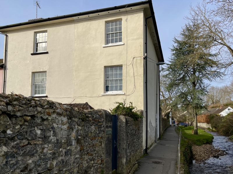
MILL GREEN
1.
1357
(South West Side)
Garden wall to south of
Jordan House
SY 3492 1/180A
II GV
2.
C19. Wall of stone rubble with coping. Entrance flanked by brick gate piers.
Nos 1 and 2 Jordan House and garden walls form a group.
Listing NGR: SY3405692435
External links are from the relevant listing authority and, where applicable, Wikidata. Wikidata IDs may be related buildings as well as this specific building. If you want to add or update a link, you will need to do so by editing the Wikidata entry.


Other nearby listed buildings
