Approximate Location Map
Large Map »
Latitude: 51.4589 / 51°27'32"N
Longitude: -2.6231 / 2°37'23"W
OS Eastings: 356802
OS Northings: 173511
OS Grid: ST568735
Mapcode National: GBR C1H.SV
Mapcode Global: VH88M.HL3G
Plus Code: 9C3VF95G+HP
Entry Name: Norland House and Attached Walls and Piers
Listing Date: 4 March 1977
Last Amended: 30 December 1994
Grade: II*
Source: Historic England
Source ID: 1281026
English Heritage Legacy ID: 379070
ID on this website: 101281026
Location: Clifton, Bristol, BS8
County: City of Bristol
Electoral Ward/Division: Clifton
Parish: Non Civil Parish
Built-Up Area: Bristol
Traditional County: Gloucestershire
Lieutenancy Area (Ceremonial County): Bristol
Church of England Parish: Clifton Christ Church with Emmanuel
Church of England Diocese: Bristol
Tagged with: Architectural structure
BRISTOL
ST5673NE CANYNGE ROAD, Clifton
901-1/1/719 (South West side)
04/03/77 Norland House and attached walls and
piers
(Formerly Listed as:
CANYNGE ROAD
(West side)
Norlond House)
GV II*
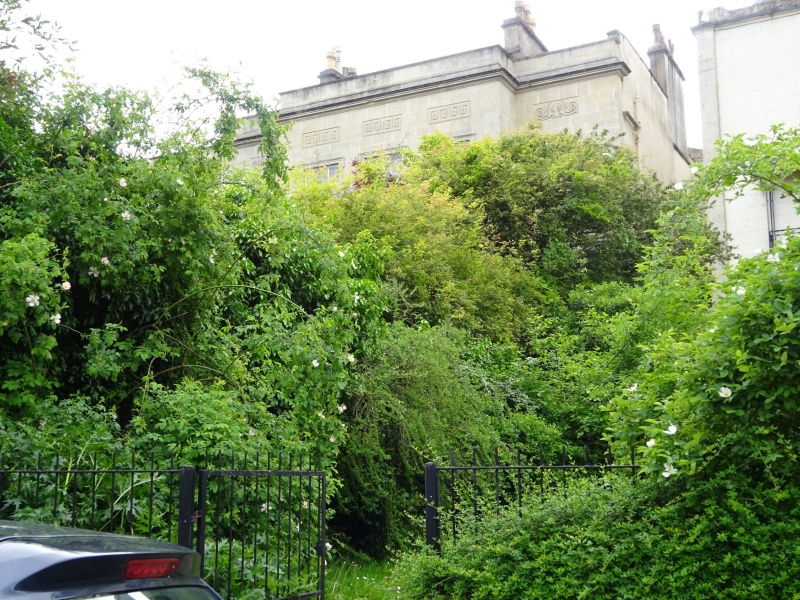
House. c1830. Probably by Charles Dyer. Extended 1878 by JH
Hirst. Limestone ashlar, ridge stacks, roof not visible.
Double-depth plan. Neoclassical style. 2 storeys and basement;
7-window range.
Originally a symmetrical 5-window house, extended to the left
with a porch in the re-entrant. Banded basement to a plat
band, the earlier block has recessed end sections with inset
Greek Doric columns flanking ground-floor windows; the
3-window centre has end panels with incised Greek Key, fluted
pilasters to the windows between, to an entablature with a
string of metopes, and cornice. The band extends along the
recessed left-hand block, as does the cornice and parapet.
The large open porch has banded, recessed quadrant corners,
Greek Doric columns between incised corners, to a cornice and
parapet; the doorway has curved reveals, plate-glass overlight
and 2-leaf 6-panel doors. Taller central ground-floor windows,
those above with eared architraves and Greek Key panels above,
outer first-floor windows have semicircular-arched heads and
palmette panels above, all with aprons. Right-hand
ground-floor window has a tented verandah with cast-iron
railings; the entrance was formerly in the matching bay to the
left.
INTERIOR: a 1878 lobby with steps up, marble panels to the
sides, and brown glazed panels of playing children.
SUBSIDIARY FEATURES: attached banded wall extends to the left
to 2 pairs of banded, capped piers with incised decoration,
separated by a carriage gateway with large timber gates. A
flagged road leads to the former stables (not included).
Strong stylistic links with houses by Charles Dyer on Litfield
Place.
(Gomme A, Jenner M and Little B: Bristol, An Architectural
History: Bristol: 1979-: 266).
Listing NGR: ST5680273511
External links are from the relevant listing authority and, where applicable, Wikidata. Wikidata IDs may be related buildings as well as this specific building. If you want to add or update a link, you will need to do so by editing the Wikidata entry.


Other nearby listed buildings
