Approximate Location Map
Large Map »
Latitude: 54.4867 / 54°29'12"N
Longitude: -0.6144 / 0°36'51"W
OS Eastings: 489859
OS Northings: 511037
OS Grid: NZ898110
Mapcode National: GBR SJ4K.SD
Mapcode Global: WHG9Y.JHN8
Plus Code: 9C6XF9PP+M6
Entry Name: The Old Unitarian Chapel
Listing Date: 23 February 1954
Grade: II
Source: Historic England
Source ID: 1281323
English Heritage Legacy ID: 326750
ID on this website: 101281323
Location: Whitby, North Yorkshire, YO21
County: North Yorkshire
District: Scarborough
Civil Parish: Whitby
Built-Up Area: Whitby
Traditional County: Yorkshire
Lieutenancy Area (Ceremonial County): North Yorkshire
Church of England Parish: Whitby St Mary
Church of England Diocese: York
Tagged with: Chapel
1.
1811 FLOWERGATE
(South Side)
The Old Unitarian Chapel
NZ 8911 1/121 23.2.54.
II
2.
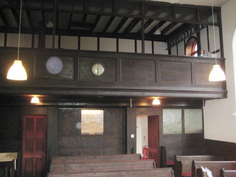
1812, on site of chapel built in 1715. Red brick. 2 windows with round
heads and one smaller window above round arched doorway. 6-fielded door
with glazed fanlight. Interior has good woodwork, balcony and pulpit.
Listing NGR: NZ8985911037
External links are from the relevant listing authority and, where applicable, Wikidata. Wikidata IDs may be related buildings as well as this specific building. If you want to add or update a link, you will need to do so by editing the Wikidata entry.


Other nearby listed buildings
