Latitude: 51.4935 / 51°29'36"N
Longitude: -2.229 / 2°13'44"W
OS Eastings: 384198
OS Northings: 177197
OS Grid: ST841771
Mapcode National: GBR 1QN.79F
Mapcode Global: VH963.9QZG
Plus Code: 9C3VFQVC+9C
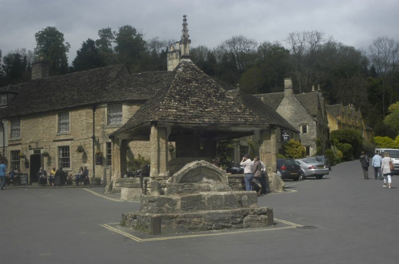
Entry Name: The Butter Cross
Listing Date: 9 December 1985
Grade: II
Source: Historic England
Source ID: 1283541
English Heritage Legacy ID: 317204
ID on this website: 101283541
Location: Castle Combe, Wiltshire, SN14
County: Wiltshire
Civil Parish: Castle Combe
Traditional County: Wiltshire
Lieutenancy Area (Ceremonial County): Wiltshire
Church of England Parish: Castle Combe
Church of England Diocese: Bristol
CASTLE COMBE MARKET PLACE ST 8477 6/114 The Butter Cross
GV II
Stone steps, later C19 using old masonry, 2 high rubble stone steps serving as plinth to top section made up of Perpendicular style window head in two blocks, infilled below. Also known as Weavers Steps. The top section reputedly from demolished gatehouse to north of The Old Rectory (q.v.). Structure said to mark Manor boundary. (E. Cruse: Castle Combe, 1965 P.85).
Listing NGR: ST8419977188


Other nearby listed buildings