Latitude: 51.491 / 51°29'27"N
Longitude: -0.9465 / 0°56'47"W
OS Eastings: 473236
OS Northings: 177425
OS Grid: SU732774
Mapcode National: GBR QS0.GY
Mapcode Global: VHDWM.JSZB
Plus Code: 9C3XF3R3+C9
Entry Name: Row Lane Farmhouse
Listing Date: 24 October 1951
Grade: II*
Source: Historic England
Source ID: 1285229
English Heritage Legacy ID: 247081
ID on this website: 101285229
Location: Littlestead Green, South Oxfordshire, RG4
County: Oxfordshire
District: South Oxfordshire
Civil Parish: Eye and Dunsden
Traditional County: Oxfordshire
Lieutenancy Area (Ceremonial County): Oxfordshire
Church of England Parish: Shiplake with Dunsden
Church of England Diocese: Oxford
Tagged with: Farmhouse
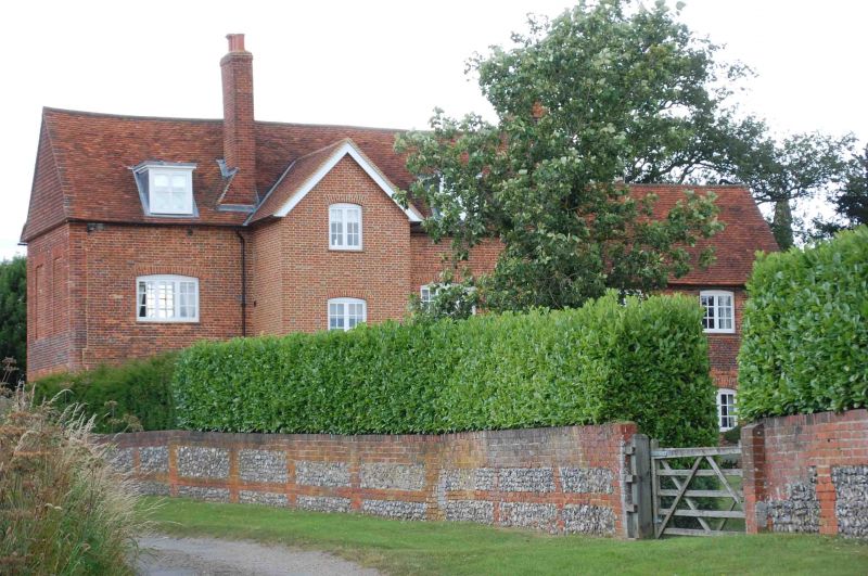
EYE AND DUNSDEN ROW LANE SU77NW Dunsden 9/60 Row Lane Farmhouse 24/10/51 GV II* Farmhouse, now house. Late C17 with C19 additions. Flared brick with red brick dressings; rubbed brick aprons and flat arches to windows. Plain tile roof. Garden facade, former entrance front: 2-storeys plus attic, 5-window range. Central bay projects forward approx 30 cms. Central sash door with moulded wood surround with flat hood on decorative brackets. Fluted and reeded Doric pilasters in rubbed brick to ground floor centre bay, unfluted to 1st floor; 24-pane sashes with thick glazing bars to all openings. Rubbed brick band between ground and 1st floor to left and right of central bay. Shaped rubbed brick aprons to 1st floor windows. 3 C20 flat roofed dormers. End stack to left. Interior: Rectangular open-well staircase with turned balusters from lst to 2nd floor. Subsidiary features: C19 cross-wing to left. Re-set dated brick, 1788, to right of central door.
Listing NGR: SU7323677425
External links are from the relevant listing authority and, where applicable, Wikidata. Wikidata IDs may be related buildings as well as this specific building. If you want to add or update a link, you will need to do so by editing the Wikidata entry.


Other nearby listed buildings