Approximate Location Map
Large Map »
Latitude: 51.1278 / 51°7'40"N
Longitude: 0.0966 / 0°5'47"E
OS Eastings: 546806
OS Northings: 138592
OS Grid: TQ468385
Mapcode National: GBR LNF.77V
Mapcode Global: VHHQ9.MXF9
Plus Code: 9F3243HW+4J
Entry Name: Chandlers Farmhouse
Listing Date: 31 December 1982
Grade: II
Source: Historic England
Source ID: 1286451
English Heritage Legacy ID: 296342
ID on this website: 101286451
Location: Wealden, East Sussex, TN8
County: East Sussex
District: Wealden
Civil Parish: Hartfield
Traditional County: Sussex
Lieutenancy Area (Ceremonial County): East Sussex
Church of England Parish: Hartfield St Mary
Church of England Diocese: Chichester
Tagged with: Farmhouse
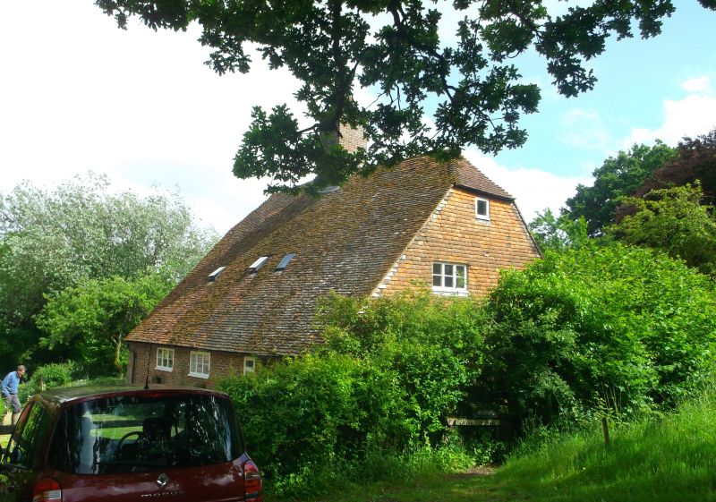
HARTFIELD HOLTYE
1.
5208
Chandler's Farmhouse
TQ 43 NE 5/81
II
2.
C17. Two storeys. Three windows. Ground floor red brick, above tile-hung.
Tiled roof. Casement windows.
Listing NGR: TQ4680638592
External links are from the relevant listing authority and, where applicable, Wikidata. Wikidata IDs may be related buildings as well as this specific building. If you want to add or update a link, you will need to do so by editing the Wikidata entry.


Other nearby listed buildings
