Latitude: 50.7352 / 50°44'6"N
Longitude: -3.2763 / 3°16'34"W
OS Eastings: 310025
OS Northings: 93623
OS Grid: SY100936
Mapcode National: GBR P7.N2V3
Mapcode Global: FRA 4704.KDL
Plus Code: 9C2RPPPF+3F
Entry Name: Thatch
Listing Date: 11 January 1974
Grade: II
Source: Historic England
Source ID: 1288878
English Heritage Legacy ID: 398458
ID on this website: 101288878
Location: Wiggaton, East Devon, EX11
County: Devon
District: East Devon
Civil Parish: Ottery St. Mary
Traditional County: Devon
Lieutenancy Area (Ceremonial County): Devon
Church of England Parish: Ottery St Mary
Church of England Diocese: Exeter
Tagged with: Building Thatched cottage
WIGGATON 1. -------- 1481 Thatch SY 19 SW 6/83 II GV
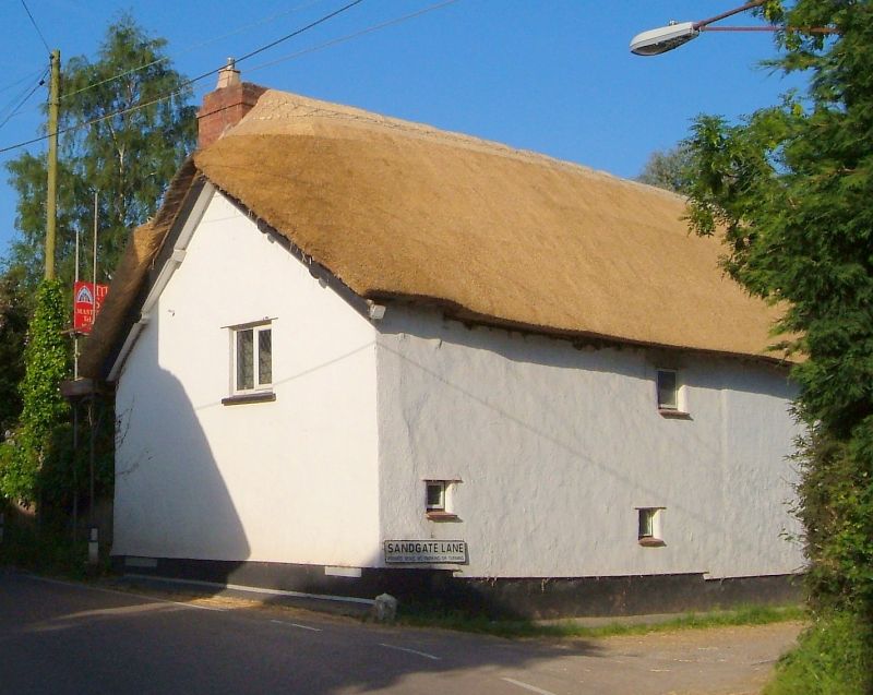
2. Opposite Farthings on south corner of Sandgate Lane. Early C17, 2 storey, cob, thatched. No windows to road. 5 casement windows, south, with modern leaded panes, and thatched porch on timber supports. Interior, timber-framed crosswall, wide fireplace, filled, with beam above.
St Edward's Chapel, Farthings, Thatch & Cottage opposite Chapel form a very prominent group.
Listing NGR: SY1002593623
External links are from the relevant listing authority and, where applicable, Wikidata. Wikidata IDs may be related buildings as well as this specific building. If you want to add or update a link, you will need to do so by editing the Wikidata entry.


Other nearby listed buildings