Latitude: 51.4196 / 51°25'10"N
Longitude: -1.5087 / 1°30'31"W
OS Eastings: 434257
OS Northings: 169072
OS Grid: SU342690
Mapcode National: GBR 700.WY9
Mapcode Global: VHC1S.SLR2
Plus Code: 9C3WCF9R+VG
Entry Name: 8, Oxford Street
Listing Date: 8 June 1984
Grade: II
Source: Historic England
Source ID: 1289539
English Heritage Legacy ID: 396683
ID on this website: 101289539
Location: Eddington, West Berkshire, RG17
County: West Berkshire
Civil Parish: Hungerford
Traditional County: Berkshire
Lieutenancy Area (Ceremonial County): Berkshire
Church of England Parish: Hungerford with Denford
Church of England Diocese: Oxford
Tagged with: Building
HUNGERFORD OXFORD STREET, EDDINGTON
SU 36 NW
(East side)
11/20 No.8
G.V. II
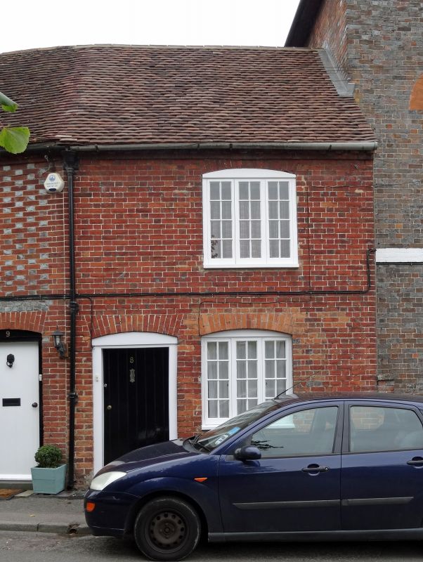
Terraced cottage. Early C19. Tiled roof. Brick walls. 2 storeys. Simple 3
light casement window with cambered head and plain boarded door under
rubbed brick arch to left. Forms a group with Buckland House and Nos.
9 and 10
Listing NGR: SU3425769071
External links are from the relevant listing authority and, where applicable, Wikidata. Wikidata IDs may be related buildings as well as this specific building. If you want to add or update a link, you will need to do so by editing the Wikidata entry.


Other nearby listed buildings