Latitude: 50.7151 / 50°42'54"N
Longitude: -2.4391 / 2°26'20"W
OS Eastings: 369095
OS Northings: 90704
OS Grid: SY690907
Mapcode National: GBR PY.RFDM
Mapcode Global: FRA 57S6.1KW
Plus Code: 9C2VPH86+39
Entry Name: The Royal Oak Public House
Listing Date: 8 May 1975
Grade: II
Source: Historic England
Source ID: 1291820
English Heritage Legacy ID: 104356
Also known as: Royal Oak (JD Wetherspoon)
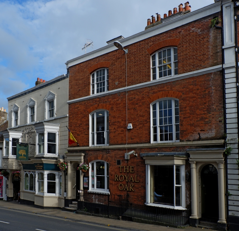
The Royal Oak (JD Wetherspoon), Dorchester
ID on this website: 101291820
Location: Dorchester, Dorset, DT1
County: Dorset
Civil Parish: Dorchester
Built-Up Area: Dorchester
Traditional County: Dorset
Lieutenancy Area (Ceremonial County): Dorset
Church of England Parish: Dorchester and West Stafford
Church of England Diocese: Salisbury
Tagged with: Pub
1. HIGH WEST STREET 5191 (South Side) The Royal Oak Public House SY 6990 7/244 II GV 2. Late Cl8/early C19, refronted late C19. Stucco. 3 storeys, ground and 1st floor rusticated. Parapet. Ground floor round-arched carriage entrance to left hand, then public house front with canted bay (sashes) to right hand. lst floor has 2 canted bays, left hand one an oriel with pargetting below, both with moulded cornices and sash windows: between them an oblong cartouche with oak leaf decoration and an escutcheon bearing the monogram of Messrs Eldridge Pope. 2nd floor has 3 sashes with panelled stucco pilasters and pediments with ornamented tympana. Nos 13 to 15 (consec), The Old Ship Public House, Nos 18, 19, The Royal Oak Public House, Nos 21 to 24 (consec) and Church of Our Lady form a group.
Listing NGR: SY6909590701
External links are from the relevant listing authority and, where applicable, Wikidata. Wikidata IDs may be related buildings as well as this specific building. If you want to add or update a link, you will need to do so by editing the Wikidata entry.


Other nearby listed buildings