Approximate Location Map
Large Map »
Latitude: 51.4914 / 51°29'28"N
Longitude: -0.1617 / 0°9'42"W
OS Eastings: 527721
OS Northings: 178536
OS Grid: TQ277785
Mapcode National: GBR 7M.WK
Mapcode Global: VHGQZ.4SW3
Plus Code: 9C3XFRRQ+G8
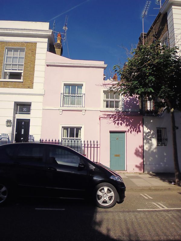
Entry Name: 15, Coulson Street SW3
Listing Date: 22 September 1971
Last Amended: 7 November 1984
Grade: II
Source: Historic England
Source ID: 1293961
English Heritage Legacy ID: 203720
ID on this website: 101293961
Location: Chelsea, Kensington and Chelsea, London, SW3
County: London
District: Kensington and Chelsea
Electoral Ward/Division: Royal Hospital
Parish: Non Civil Parish
Built-Up Area: Kensington and Chelsea
Traditional County: Middlesex
Lieutenancy Area (Ceremonial County): Greater London
Church of England Parish: St Luke and Christ Church Chelsea
Church of England Diocese: London
Tagged with: Building
TQ 2778 NE COULSON STREET SW3
49/32
22.9.71 No 15
II
Description same as for Nos 1 to 13 and 16 to 26 (consec), but lower and no basement.
(Included for group value).
Listing NGR: TQ2772178536
External links are from the relevant listing authority and, where applicable, Wikidata. Wikidata IDs may be related buildings as well as this specific building. If you want to add or update a link, you will need to do so by editing the Wikidata entry.


Other nearby listed buildings
