Approximate Location Map
Large Map »
Latitude: 51.4893 / 51°29'21"N
Longitude: -0.1832 / 0°10'59"W
OS Eastings: 526231
OS Northings: 178271
OS Grid: TQ262782
Mapcode National: GBR 3N.19
Mapcode Global: VHGQY.RTZN
Plus Code: 9C3XFRQ8+PP
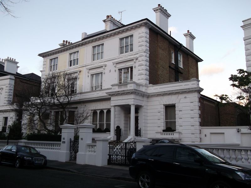
Entry Name: 9 and 10, the Boltons SW 10
Listing Date: 15 April 1969
Grade: II
Source: Historic England
Source ID: 1294367
English Heritage Legacy ID: 203533
ID on this website: 101294367
Location: South Kensington, Kensington and Chelsea, London, SW10
County: London
District: Kensington and Chelsea
Electoral Ward/Division: Redcliffe
Parish: Non Civil Parish
Built-Up Area: Kensington and Chelsea
Traditional County: Middlesex
Lieutenancy Area (Ceremonial County): Greater London
Church of England Parish: West Brompton St Mary with St Peter and St Jude
Church of England Diocese: London
Tagged with: Building
TQ 2678 SW THE BOLTONS SW10
54/13
15.4.69 Nos 9 and 10
GV
II
As Nos 1 and 2, The Boltons.
Listing NGR: TQ2623178271
External links are from the relevant listing authority and, where applicable, Wikidata. Wikidata IDs may be related buildings as well as this specific building. If you want to add or update a link, you will need to do so by editing the Wikidata entry.


Other nearby listed buildings
