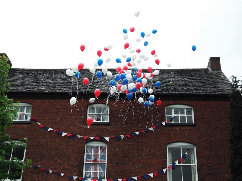
Latitude: 52.6067 / 52°36'23"N
Longitude: -1.6677 / 1°40'3"W
OS Eastings: 422597
OS Northings: 301038
OS Grid: SK225010
Mapcode National: GBR 5H4.K5C
Mapcode Global: WHCH4.CR21
Plus Code: 9C4WJ84J+MW
Entry Name: The Manor House
Listing Date: 9 November 1972
Grade: II
Source: Historic England
Source ID: 1297332
English Heritage Legacy ID: 386496
ID on this website: 101297332
Location: Wilnecote, Tamworth, Staffordshire, B77
County: Staffordshire
District: Tamworth
Electoral Ward/Division: Wilnecote
Parish: Non Civil Parish
Built-Up Area: Tamworth
Traditional County: Warwickshire
Lieutenancy Area (Ceremonial County): Staffordshire
Church of England Parish: Wilnecote Holy Trinity
Church of England Diocese: Lichfield
Tagged with: House
TAMWORTH
SK20SW HOCKLEY ROAD, Wilnecote 670-1/4/135 (West side) 09/11/72 The Manor House
II
House, now flats. c1770 with early C19 alterations and additions. Brick; tile roofs with brick stacks. Central-staircase plan with lower rear wing and parallel rear range. 3 storeys; symmetrical 3-window range. Entrance has doorcase with panelled pilasters, richly consoled bay windows with friezes and 8:12:8-pane sashes; 1st and 2nd floor segmental-headed windows, top-hung casement, 12-pane sash and 4-pane horned sash to 1st floor, casements flanking 6-pane sash to 2nd floor. End stacks. Rear has 2-storey gabled wing with cornice and coped gable, large lateral stack; 3 storey parallel single-window range. Small wing to right return is much altered and converted to shops. Interior not inspected.
Listing NGR: SK2259701038
External links are from the relevant listing authority and, where applicable, Wikidata. Wikidata IDs may be related buildings as well as this specific building. If you want to add or update a link, you will need to do so by editing the Wikidata entry.


Other nearby listed buildings