Latitude: 53.2145 / 53°12'52"N
Longitude: -1.0012 / 1°0'4"W
OS Eastings: 466795
OS Northings: 369072
OS Grid: SK667690
Mapcode National: GBR 9FZ.KPB
Mapcode Global: WHFGT.LGGJ
Plus Code: 9C5W6X7X+RG
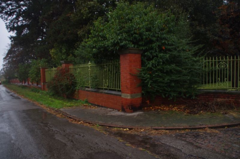
Entry Name: Boundary Wall and Gates at Boughton Pumping Station
Listing Date: 28 April 1986
Grade: II
Source: Historic England
Source ID: 1302837
English Heritage Legacy ID: 241864
ID on this website: 101302837
Location: Boughton, Newark and Sherwood, Nottinghamshire, NG22
County: Nottinghamshire
District: Newark and Sherwood
Civil Parish: Ollerton and Boughton
Built-Up Area: New Ollerton
Traditional County: Nottinghamshire
Lieutenancy Area (Ceremonial County): Nottinghamshire
Church of England Parish: Ollerton with Boughton
Church of England Diocese: Southwell and Nottingham
Tagged with: Wall
BOUGHTON WHINNEY LANE SK 66 NE (west side) 3/13 Boundary wall and gates at Boughton Pumping Station
G.V. II
Boundary wall, railing and gates. 1905. Red and blue brick with ashlar coping. Chamfered plinth. 23 square brick piers with ashlar caps. Stepped moulded coping. Main north gate has larger square piers with domed caps and incurved flanking walls. Pair of ornamental wrought iron gates. South gateway has similar piers and outcurved dwarf walls carrying 6 bay wrought iron railing. Approx. 150M long.
Listing NGR: SK6679569072
External links are from the relevant listing authority and, where applicable, Wikidata. Wikidata IDs may be related buildings as well as this specific building. If you want to add or update a link, you will need to do so by editing the Wikidata entry.


Other nearby listed buildings