Approximate Location Map
Large Map »
Latitude: 54.3277 / 54°19'39"N
Longitude: -2.7487 / 2°44'55"W
OS Eastings: 351404
OS Northings: 492721
OS Grid: SD514927
Mapcode National: GBR 9L7D.QD
Mapcode Global: WH82W.RH84
Plus Code: 9C6V87H2+3G
Entry Name: Yard 2; Smoke House
Listing Date: 30 January 1985
Grade: II
Source: Historic England
Source ID: 1311742
English Heritage Legacy ID: 75499
ID on this website: 101311742
Location: Kendal, Westmorland and Furness, Cumbria, LA9
County: Cumbria
District: South Lakeland
Civil Parish: Kendal
Built-Up Area: Kendal
Traditional County: Westmorland
Lieutenancy Area (Ceremonial County): Cumbria
Church of England Parish: Kendal Holy Trinity
Church of England Diocese: Carlisle
Tagged with: House
DP
SD 5192 NW KENDAL STRICKLANDGATE
(West side)
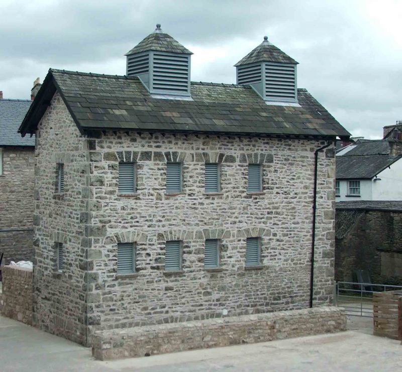
7/153 Yard 2; Smoke-house
II
Smoke-house or drying store. Probably mid C19. Slobbered rubble with quoins. Graduated
slate roof with projecting eaves; 2 louvres with pyramidal roofs to ridge. 2 storeys.
East elevation has 2 sliding doors with 2 rows of 4 wooden louvres above; 3rd door
to left.
Listing NGR: SD5140492721
External links are from the relevant listing authority and, where applicable, Wikidata. Wikidata IDs may be related buildings as well as this specific building. If you want to add or update a link, you will need to do so by editing the Wikidata entry.


Other nearby listed buildings
