Approximate Location Map
Large Map »
Latitude: 53.5702 / 53°34'12"N
Longitude: -1.7855 / 1°47'7"W
OS Eastings: 414302
OS Northings: 408197
OS Grid: SE143081
Mapcode National: GBR HWZ4.7X
Mapcode Global: WHCBF.JJZC
Plus Code: 9C5WH6C7+3R
Entry Name: Old Lock Up
Listing Date: 4 August 1983
Grade: II
Source: Historic England
Source ID: 1313578
English Heritage Legacy ID: 340282
ID on this website: 101313578
Location: Holmfirth, Kirklees, West Yorkshire, HD9
County: Kirklees
Civil Parish: Holme Valley
Built-Up Area: Holmfirth
Traditional County: Yorkshire
Lieutenancy Area (Ceremonial County): West Yorkshire
Church of England Parish: Holmfirth Holy Trinity
Church of England Diocese: Leeds
Tagged with: Architectural structure
SE 1408 DAISY LANE
12/55 (Holmfirth)
Old Lock Up
II
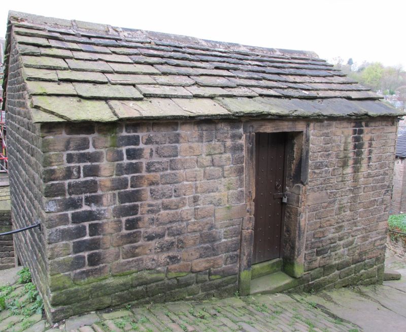
Former detached lock up. Early C19. Hammer dressed stone. Stone slate roof. Two
storeys. North elevation: large carriage doorway with massive stone lintel supported
on rounded padstones. Doorway to east and south elevtions (the latter blocked). West
elevation: first floor has narrow slit opening with vertical bar.
Listing NGR: SE1430208197
External links are from the relevant listing authority and, where applicable, Wikidata. Wikidata IDs may be related buildings as well as this specific building. If you want to add or update a link, you will need to do so by editing the Wikidata entry.


Other nearby listed buildings
