Latitude: 53.6203 / 53°37'13"N
Longitude: -1.802 / 1°48'7"W
OS Eastings: 413193
OS Northings: 413772
OS Grid: SE131137
Mapcode National: GBR HVVK.NY
Mapcode Global: WHCB7.984F
Plus Code: 9C5WJ5CX+45
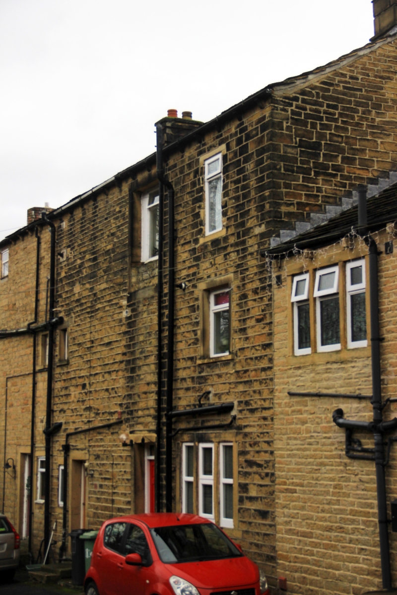
Entry Name: 6, Dean Brook Road
Listing Date: 29 September 1978
Grade: II
Source: Historic England
Source ID: 1313845
English Heritage Legacy ID: 339772
ID on this website: 101313845
Location: Armitage Bridge, Kirklees, West Yorkshire, HD4
County: Kirklees
Electoral Ward/Division: Newsome
Parish: Non Civil Parish
Built-Up Area: Huddersfield
Traditional County: Yorkshire
Lieutenancy Area (Ceremonial County): West Yorkshire
Church of England Parish: Newsome and Armitage Bridge St John the Evangelist
Church of England Diocese: Leeds
Tagged with: Building
DEAN BROOK ROAD 1. 5113 Armitage Bridge No 6 SE 1313 47/443 II GV 2. Mid C19. Ashlar. Pitched stone slate roof. 3 storeys. Modillion eaves cornice. Rusticated quoins. One range of sashes. One range of paired sashes.
Listing NGR: SE1319313772
External links are from the relevant listing authority and, where applicable, Wikidata. Wikidata IDs may be related buildings as well as this specific building. If you want to add or update a link, you will need to do so by editing the Wikidata entry.


Other nearby listed buildings