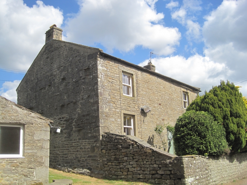
Latitude: 54.2158 / 54°12'57"N
Longitude: -1.9495 / 1°56'58"W
OS Eastings: 403389
OS Northings: 480013
OS Grid: SE033800
Mapcode National: GBR GMTP.QH
Mapcode Global: WHB64.09YD
Plus Code: 9C6W6382+85
Entry Name: Braidley Farmhouse
Listing Date: 6 April 1988
Grade: II
Source: Historic England
Source ID: 1318341
English Heritage Legacy ID: 322531
ID on this website: 101318341
Location: Braidley, North Yorkshire, DL8
County: North Yorkshire
District: Richmondshire
Civil Parish: Carlton Highdale
Traditional County: Yorkshire
Lieutenancy Area (Ceremonial County): North Yorkshire
Tagged with: Farmhouse
SE 08 SW
6/49
CARLTON HIGHDALE
BRAIDLEY
Braidley Farmhouse
GV
II
Farmhouse. Mid C18. Coursed rubble, stone slate roof. 2 storeys, 2 first-
floor windows. Quoins. Central part-glazed 4-panel door in ashlar surround
with bases and impost blocks. 4-pane sash windows in flush ashlar
surrounds. End stacks.
Listing NGR: SE0338980013
External links are from the relevant listing authority and, where applicable, Wikidata. Wikidata IDs may be related buildings as well as this specific building. If you want to add or update a link, you will need to do so by editing the Wikidata entry.


Other nearby listed buildings