Latitude: 51.3403 / 51°20'24"N
Longitude: -3.1049 / 3°6'17"W
OS Eastings: 323134
OS Northings: 160711
OS Grid: ST231607
Mapcode National: GBR J1.VV07
Mapcode Global: VH7CH.4KFX
Plus Code: 9C3R8VRW+42
Entry Name: Tombstone Battery
Listing Date: 19 May 1983
Grade: II
Source: Historic England
Source ID: 1320678
English Heritage Legacy ID: 33239
ID on this website: 101320678
Location: North Somerset, BS21
County: North Somerset
Civil Parish: Weston-super-Mare
Traditional County: Somerset
Lieutenancy Area (Ceremonial County): Somerset
Tagged with: Tomb
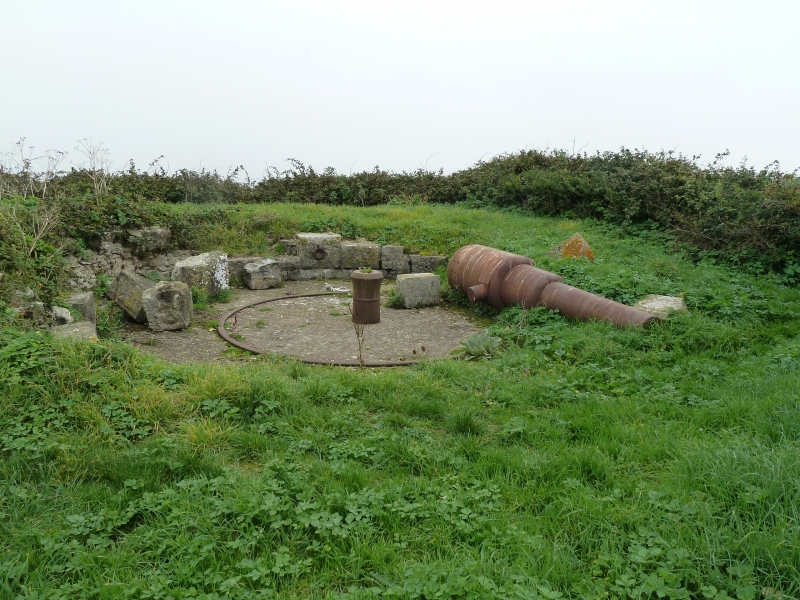
STEEPHOLM ISLAND 1. 5121 Tombstone Battery ST 36 SW 1/82 II 2. 1866-1868 built as part of the Palmerston forts ["follies"]. Single battery with one barbette. Inside a semi-circular parapet wall of squared dressed rubble: outer ramp of earth and stone. Pit with racer cannon pivot (remains of Geo III cannon) and displaced 7 ton 7 inch cannon of 1860's. Ammunition chamber: dressed limestone exterior; brick vaulted interior. See Barret, J.M. "Maritime Forts in the Bristol Channel".
Listing NGR: ST2316760754
External links are from the relevant listing authority and, where applicable, Wikidata. Wikidata IDs may be related buildings as well as this specific building. If you want to add or update a link, you will need to do so by editing the Wikidata entry.


Other nearby listed buildings