Approximate Location Map
Large Map »
Latitude: 52.0912 / 52°5'28"N
Longitude: -0.266 / 0°15'57"W
OS Eastings: 518890
OS Northings: 245066
OS Grid: TL188450
Mapcode National: GBR H44.ZGP
Mapcode Global: VHGN0.BPQR
Plus Code: 9C4X3PRM+FH
Entry Name: 34 and 36, Sun Street
Listing Date: 7 December 1978
Grade: II
Source: Historic England
Source ID: 1321430
English Heritage Legacy ID: 37496
ID on this website: 101321430
Location: Biggleswade, Central Bedfordshire, SG18
County: Central Bedfordshire
Civil Parish: Biggleswade
Built-Up Area: Biggleswade
Traditional County: Bedfordshire
Lieutenancy Area (Ceremonial County): Bedfordshire
Church of England Parish: Biggleswade
Church of England Diocese: St.Albans
Tagged with: Building
SUN STREET
1.
5124
(South Side)
Nos 34 and 36
TL 14 NE 2/66
II
2.
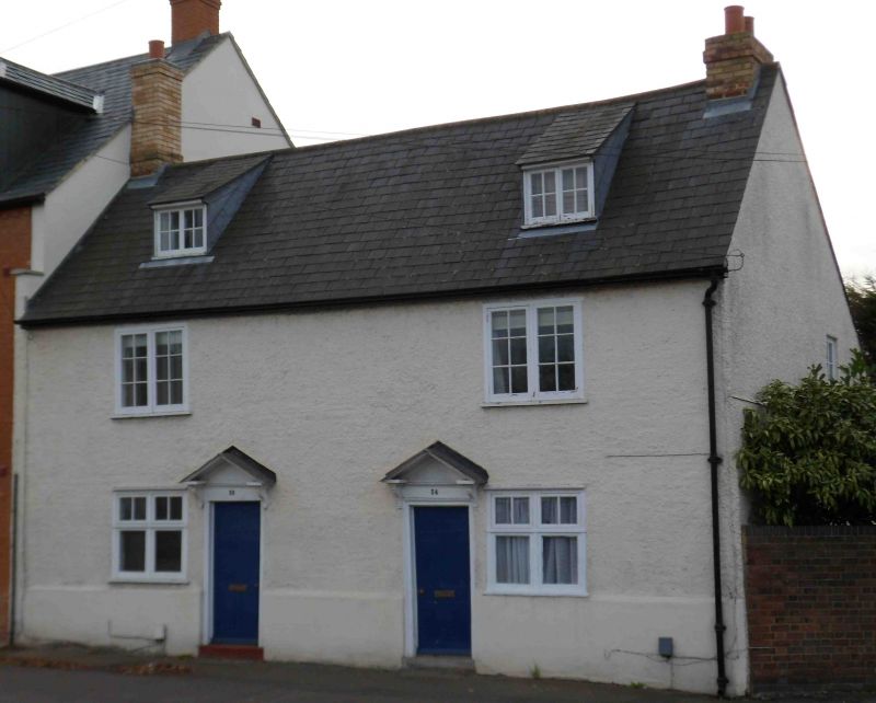
Late C18 or early C19. Colourwashed roughcast, 2 storey and attics. Asbestos
tile roof. Two dormers, 2 casements with glazing bars. Doors beneath simple
open pedimented heads.
Listing NGR: TL1889045066
External links are from the relevant listing authority and, where applicable, Wikidata. Wikidata IDs may be related buildings as well as this specific building. If you want to add or update a link, you will need to do so by editing the Wikidata entry.


Other nearby listed buildings
