Latitude: 51.1641 / 51°9'50"N
Longitude: 0.6905 / 0°41'25"E
OS Eastings: 588210
OS Northings: 143975
OS Grid: TQ882439
Mapcode National: GBR QTY.TNC
Mapcode Global: VHJN2.X0DG
Plus Code: 9F325M7R+J5
Entry Name: Dodges Farmhouse
Listing Date: 10 October 1980
Grade: II
Source: Historic England
Source ID: 1323748
English Heritage Legacy ID: 181250
ID on this website: 101323748
Location: The Quarter, Ashford, Kent, TN27
County: Kent
District: Ashford
Civil Parish: Smarden
Traditional County: Kent
Lieutenancy Area (Ceremonial County): Kent
Tagged with: Farmhouse
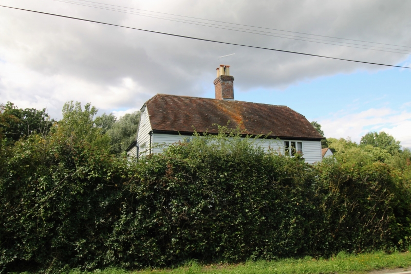
1.
5272 SMARDEN SMARDEN BELL ROAD
Dodges Farmhouse
TQ 84 SE 13/47
II
2.
C18 L-shaped building. Two storeys. The north-south wing is faced with weatherboarding
with a dentilled eaves cornice, the west wing with red brick and grey headers.
Listing NGR: TQ8821043975
External links are from the relevant listing authority and, where applicable, Wikidata. Wikidata IDs may be related buildings as well as this specific building. If you want to add or update a link, you will need to do so by editing the Wikidata entry.


Other nearby listed buildings