Approximate Location Map
Large Map »
Latitude: 50.1845 / 50°11'4"N
Longitude: -5.4392 / 5°26'20"W
OS Eastings: 154585
OS Northings: 37266
OS Grid: SW545372
Mapcode National: GBR DXY6.3CX
Mapcode Global: VH12M.NMWG
Plus Code: 9C2P5HM6+Q8
Entry Name: Rose Villa
Listing Date: 22 December 1972
Grade: II
Source: Historic England
Source ID: 1327773
English Heritage Legacy ID: 68955
ID on this website: 101327773
Location: Lelant, Cornwall, TR26
County: Cornwall
Civil Parish: St. Ives
Built-Up Area: Lelant
Traditional County: Cornwall
Lieutenancy Area (Ceremonial County): Cornwall
Church of England Parish: Lelant
Church of England Diocese: Truro
Tagged with: Villa
CHURCH ROAD
1. (East Side)
1587 LELANT
------------
Rose Villa
SW 5437 6/219
II
2.
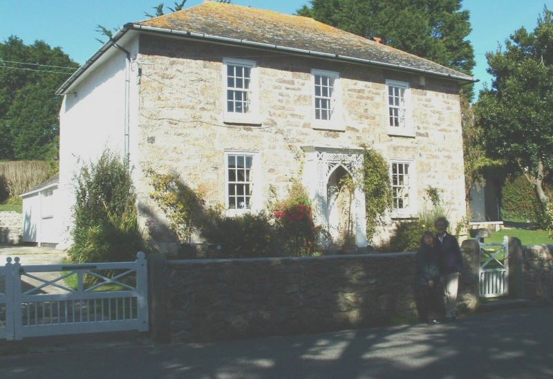
Small early C19 house. Coursed granite. Two storeys. Three sash
windows with glazing bars. Central panelled door with narrow rectangular
fanlight. Slate hipped roof with overhanging eaves.
Listing NGR: SW5458537266
External links are from the relevant listing authority and, where applicable, Wikidata. Wikidata IDs may be related buildings as well as this specific building. If you want to add or update a link, you will need to do so by editing the Wikidata entry.


Other nearby listed buildings
