Approximate Location Map
Large Map »
Latitude: 50.0804 / 50°4'49"N
Longitude: -5.5388 / 5°32'19"W
OS Eastings: 146925
OS Northings: 26033
OS Grid: SW469260
Mapcode National: GBR DXPG.RQG
Mapcode Global: VH05P.Y77P
Plus Code: 9C2P3FJ6+5F
Entry Name: Harley Cottage
Listing Date: 7 February 1974
Grade: II
Source: Historic England
Source ID: 1327844
English Heritage Legacy ID: 69318
ID on this website: 101327844
Location: Mousehole, Cornwall, TR19
County: Cornwall
Civil Parish: Penzance
Built-Up Area: Mousehole
Traditional County: Cornwall
Lieutenancy Area (Ceremonial County): Cornwall
Church of England Parish: Paul
Church of England Diocese: Truro
Tagged with: Cottage
1.
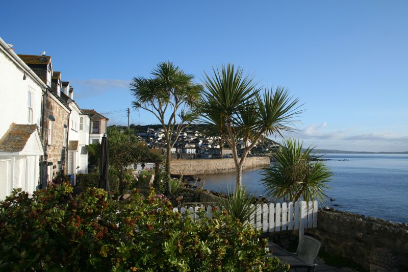
1498 MOUSEHOLE
SALT PONDS
----------
Harley Cottage.
Nos 3 to 6 (consec)
SW 4626 11/243A
II
2.
Cl8. Whitewashed rubble cottage range. Slate roof. 2 storeys and attics.
6 windows. Mostly restored sashes without glazing bars. Harley Cottage has
modern casements. Wide pedimented hood over doorway of Nos 3 and 4. Nos 5 and
6 adjoining doorways under one wood lintel. Nos 5 and 6 have large flat headed
dormers.
Listing NGR: SW4692726039
External links are from the relevant listing authority and, where applicable, Wikidata. Wikidata IDs may be related buildings as well as this specific building. If you want to add or update a link, you will need to do so by editing the Wikidata entry.


Other nearby listed buildings
