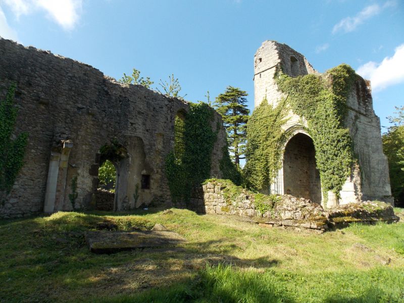
Latitude: 51.1866 / 51°11'11"N
Longitude: 0.7669 / 0°46'0"E
OS Eastings: 593460
OS Northings: 146683
OS Grid: TQ934466
Mapcode National: GBR RW5.GQS
Mapcode Global: VHKKD.7FTP
Plus Code: 9F325QP8+MQ
Entry Name: Ruins of Church of St Mary
Listing Date: 14 February 1967
Grade: II
Source: Historic England
Source ID: 1329709
English Heritage Legacy ID: 181054
ID on this website: 101329709
Location: Ashford, Kent, TN27
County: Kent
District: Ashford
Civil Parish: Little Chart
Traditional County: Kent
Lieutenancy Area (Ceremonial County): Kent
1. 5272 LITTLE CHART PLUCKLEY ROAD Ruins of Church of St Mary TQ 94 NW 10/131 14.2.67. II 2. The only remaining parts of this building (which consisted of a chancel with north chapel, a nave with north aisle and a west tower, which was hit by a flying bomb during the Second World and demolished) are the tower, which was built by Sir John Darell about 1500; and part of the contemporary chancel. Tower of ragstone in 2 stages. Double cinquefoil window.
Listing NGR: TQ9339046963


Other nearby listed buildings