Latitude: 53.3464 / 53°20'46"N
Longitude: -2.5542 / 2°33'15"W
OS Eastings: 363198
OS Northings: 383418
OS Grid: SJ631834
Mapcode National: GBR BYLR.T4
Mapcode Global: WH98Y.Q4WY
Plus Code: 9C5V8CWW+G8
Entry Name: Appleton Cross (Base)
Listing Date: 20 October 1952
Grade: II
Source: Historic England
Source ID: 1329766
English Heritage Legacy ID: 58956
ID on this website: 101329766
Location: Appleton Thorn, Warrington, Cheshire, WA4
County: Warrington
Civil Parish: Appleton
Traditional County: Cheshire
Lieutenancy Area (Ceremonial County): Cheshire
Church of England Parish: Stretton St Matthew
Church of England Diocese: Chester
Tagged with: Monumental cross
SJ 68 SW APPLETON C.P. STRETTON ROAD
(North Side) at
junction with Cann Lane
6/20 Appleton Cross (base).
20.lO.52 II
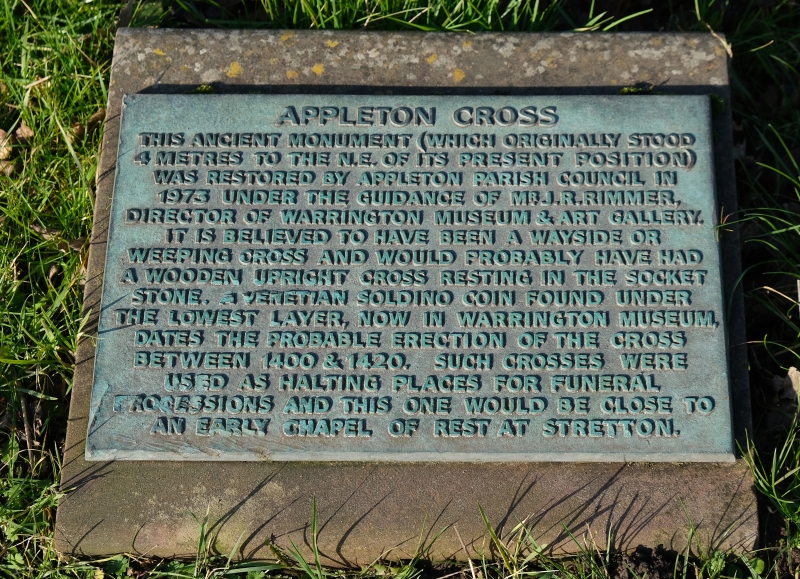
Square base-stone with recess for Cross on a square plinth of 2
sandstone steps, probably medieval. Cross removed.
Listing NGR: SJ6319883418
External links are from the relevant listing authority and, where applicable, Wikidata. Wikidata IDs may be related buildings as well as this specific building. If you want to add or update a link, you will need to do so by editing the Wikidata entry.


Other nearby listed buildings