Approximate Location Map
Large Map »
Latitude: 52.4134 / 52°24'48"N
Longitude: -0.3781 / 0°22'41"W
OS Eastings: 510410
OS Northings: 280721
OS Grid: TL104807
Mapcode National: GBR H04.M73
Mapcode Global: VHFNY.DLGS
Plus Code: 9C4XCJ7C+8Q
Entry Name: Westward Farmhouse
Listing Date: 9 April 1987
Grade: II
Source: Historic England
Source ID: 1330517
English Heritage Legacy ID: 54805
ID on this website: 101330517
Location: Winwick, Huntingdonshire, Cambridgeshire, PE28
County: Cambridgeshire
District: Huntingdonshire
Civil Parish: Winwick
Traditional County: Huntingdonshire
Lieutenancy Area (Ceremonial County): Cambridgeshire
Church of England Parish: Winwick All Saints
Church of England Diocese: Ely
Tagged with: Farmhouse
TL 1080 WINWICK WINWICK
15/86 Westward Farmhouse
II
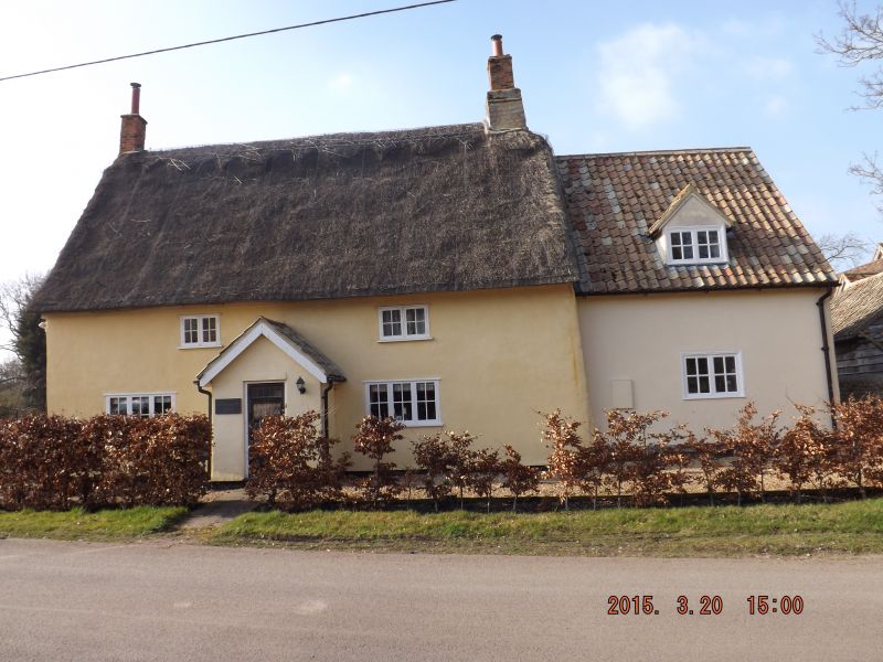
Farmhouse. Mid C17, with later alterations. Timber-framed and plastered.
Corrugated iron roof replacing original Collyweston slated roof. Limestone rubble
end stacks with shaft to left hand in red brick. Two storeys, two unit plan with
dairy and kitchen outshuts. Doors formerly to left of centre, two three-light
ground floor casement windows, one horizontal sliding sash first floor window and
one fixed light window. INTERIOR: Exposed timber-frame with curved tension braces,
one to west first floor room recessed for window shutter; stop-chamfered ceiling
beams. C19 boxed staircase, sealed hearths.
Listing NGR: TL1041080721
External links are from the relevant listing authority and, where applicable, Wikidata. Wikidata IDs may be related buildings as well as this specific building. If you want to add or update a link, you will need to do so by editing the Wikidata entry.


Other nearby listed buildings
