Latitude: 50.7438 / 50°44'37"N
Longitude: -2.9699 / 2°58'11"W
OS Eastings: 331662
OS Northings: 94249
OS Grid: SY316942
Mapcode National: GBR PH.RMR2
Mapcode Global: FRA 47N3.YL7
Plus Code: 9C2VP2VJ+G2
Entry Name: Cathole Farm House
Listing Date: 19 October 1984
Grade: II
Source: Historic England
Source ID: 1333602
English Heritage Legacy ID: 88291
ID on this website: 101333602
Location: Yawl, East Devon, DT7
County: Devon
District: East Devon
Civil Parish: Uplyme
Traditional County: Devon
Lieutenancy Area (Ceremonial County): Devon
Church of England Parish: Uplyme St Peter and St Paul
Church of England Diocese: Exeter
Tagged with: Farmhouse
SY 39 SW UPLYME YAWL 15/617 Cathole Farm House
II
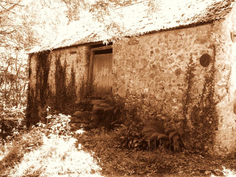
Farm house. Circa C17/18. Colourwashed stone rubble. Slate roof with gabled ends. Two storeys. Three/four window range. Three-light casements with glazing bars. Central wide plank door to cross passage. Byre at lower west, end, now part of house. Circa early C19 extension at east end. Brick ridge chimney stacks.
Listing NGR: SY3166294249
External links are from the relevant listing authority and, where applicable, Wikidata. Wikidata IDs may be related buildings as well as this specific building. If you want to add or update a link, you will need to do so by editing the Wikidata entry.


Other nearby listed buildings