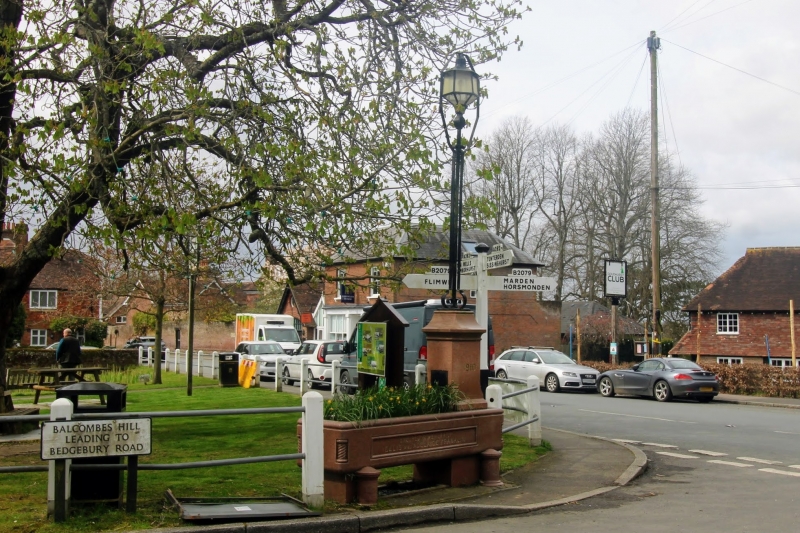
Latitude: 51.1129 / 51°6'46"N
Longitude: 0.4589 / 0°27'32"E
OS Eastings: 572211
OS Northings: 137717
OS Grid: TQ722377
Mapcode National: GBR PT2.2V4
Mapcode Global: VHJN4.W9Z6
Plus Code: 9F324F75+4H
Entry Name: Water Trough on the Plain
Listing Date: 22 June 1989
Grade: II
Source: Historic England
Source ID: 1334373
English Heritage Legacy ID: 169590
ID on this website: 101334373
Location: Goudhurst, Tunbridge Wells, Kent, TN17
County: Kent
District: Tunbridge Wells
Civil Parish: Goudhurst
Built-Up Area: Goudhurst
Traditional County: Kent
Lieutenancy Area (Ceremonial County): Kent
Tagged with: Manger
GOUDHURST THE PLAIN TQ 7237-7337 (east side) 15/240 Water trough on the Plain GV II Water trough. Dated 1910. Pink granite. Projecting columned base to trough with cable-moulded insets to corners, the left side a horse trough, the end right portion a drinking fountain, with simple, chamfered pedestal for water supply to right, the moulded cup with missing finial. Inscribed to Ellis and Adelaide Franklin. Included for group value.
Listing NGR: TQ7221037716
External links are from the relevant listing authority and, where applicable, Wikidata. Wikidata IDs may be related buildings as well as this specific building. If you want to add or update a link, you will need to do so by editing the Wikidata entry.


Other nearby listed buildings