Approximate Location Map
Large Map »
Latitude: 53.2629 / 53°15'46"N
Longitude: -1.8166 / 1°48'59"W
OS Eastings: 412332
OS Northings: 374003
OS Grid: SK123740
Mapcode National: GBR HZRQ.J1
Mapcode Global: WHCCZ.277Y
Plus Code: 9C5W757M+59
Entry Name: Outer Gate Piers at Wormhill Hall
Listing Date: 21 April 1967
Grade: II
Source: Historic England
Source ID: 1334856
English Heritage Legacy ID: 82315
ID on this website: 101334856
Location: Wormhill, High Peak, Derbyshire, SK17
County: Derbyshire
District: High Peak
Civil Parish: Wormhill
Traditional County: Derbyshire
Lieutenancy Area (Ceremonial County): Derbyshire
Church of England Parish: Tideswell St John the Baptist
Church of England Diocese: Derby
Tagged with: Architectural structure
SK 17 SW PARISH OF WORMHILL
5/51
Outer gate piers at Wormhill
21.4.1967 Hall
II
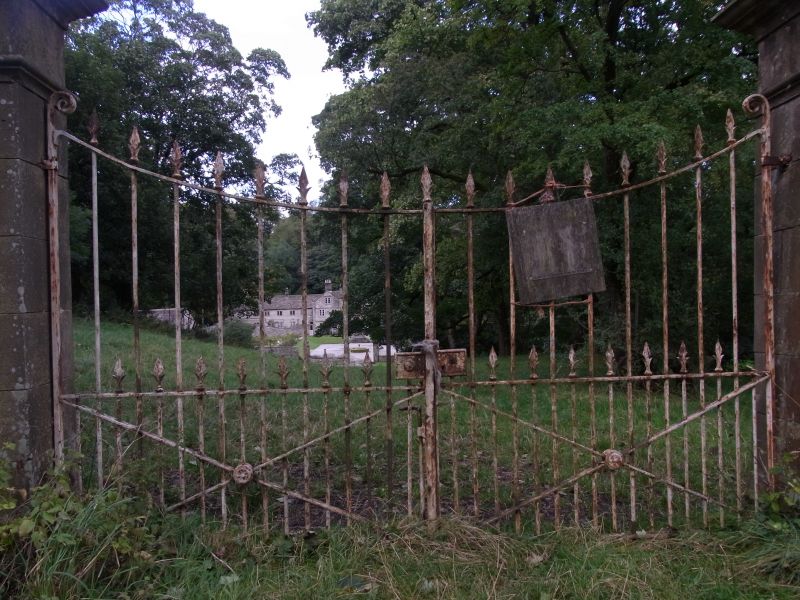
Gate piers. Mid-C18. Ashlar gritstone, square on plan, with moulded drips,
projecting moulded caps, surmounted by ball finials. Iron gates with spear-
headed railings.
Listing NGR: SK1233274003
External links are from the relevant listing authority and, where applicable, Wikidata. Wikidata IDs may be related buildings as well as this specific building. If you want to add or update a link, you will need to do so by editing the Wikidata entry.


Other nearby listed buildings
