Latitude: 51.2206 / 51°13'14"N
Longitude: 1.0497 / 1°2'58"E
OS Eastings: 613060
OS Northings: 151246
OS Grid: TR130512
Mapcode National: GBR TYT.G6P
Mapcode Global: VHLGT.4LS3
Plus Code: 9F3362CX+7V
Entry Name: Church of All Saints
Listing Date: 30 January 1967
Grade: I
Source: Historic England
Source ID: 1336595
English Heritage Legacy ID: 171367
Also known as: All Saints Church, Petham
ID on this website: 101336595
Location: All Saints' Church, Petham, Canterbury, Kent, CT4
County: Kent
District: Canterbury
Civil Parish: Petham
Traditional County: Kent
Lieutenancy Area (Ceremonial County): Kent
Tagged with: Church building
1. 5273 PETHAM CHURCH LANE
Church of All Saints TR 1351 37/515 30.1.67
I
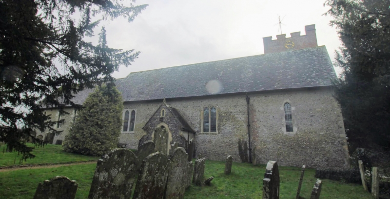
2. Norman nave and north porch, Cl3 chancel and south aisle. Base of tower C13 but top of tower added in 1760. The church was restored after a fire in 1922 and the south arcade was rebuilt in a classical style. Built of flint. Top of tower is red brick and crenellated. Four bay nave having roof with restored crown posts. Lancet windows. Some C18 wall monuments. Two piscinas in the chancel, one trefoil-headed. Similar piscina in nave. North porch with outward pointing zig-zag. The churchyard contains some C18 headstones with cherub, skull or urn motif and some oval bodystones and chest tombs.
Listing NGR: TR1305551246
External links are from the relevant listing authority and, where applicable, Wikidata. Wikidata IDs may be related buildings as well as this specific building. If you want to add or update a link, you will need to do so by editing the Wikidata entry.


Other nearby listed buildings