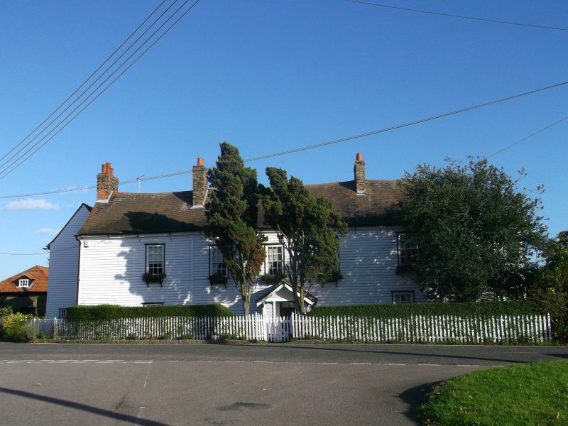
Latitude: 51.4764 / 51°28'34"N
Longitude: 0.3904 / 0°23'25"E
OS Eastings: 566103
OS Northings: 177976
OS Grid: TQ661779
Mapcode National: GBR NM6.9KJ
Mapcode Global: VHJLC.Q581
Plus Code: 9F32F9GR+G5
Entry Name: Manor Farmhouse
Listing Date: 10 November 1981
Grade: II
Source: Historic England
Source ID: 1337089
English Heritage Legacy ID: 119665
ID on this website: 101337089
Location: West Tilbury, Thurrock, Essex, RM18
County: Thurrock
Electoral Ward/Division: East Tilbury
Parish: Non Civil Parish
Traditional County: Essex
Lieutenancy Area (Ceremonial County): Essex
Church of England Parish: East and West Tilbury and Linford
Church of England Diocese: Chelmsford
Tagged with: Farmhouse
1. 5221 THE GREEN West Tilbury Manor Farmhouse TQ 67 NE 11/12
II
2. C17 house, timber-framed and weatherboarded, with red plain tile roof. Two storeys. Four window range double hung vertical sliding sashes with glazing bars. Later extensions at rear and north end. Modern gabled porch.
Listing NGR: TQ6610377976
External links are from the relevant listing authority and, where applicable, Wikidata. Wikidata IDs may be related buildings as well as this specific building. If you want to add or update a link, you will need to do so by editing the Wikidata entry.


Other nearby listed buildings