
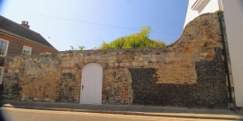
Boundary walling to south west, North and North West of 29 Harnet Street, Harnet Street, Sandwich
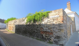
Boundary walling to south west, North and North West of 29 Harnet Street, Harnet Street, Sandwich
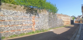
Boundary walling to south west, North and North West of 29 Harnet Street, Harnet Street, Sandwich
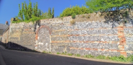
Boundary walling to south west, North and North West of 29 Harnet Street, Harnet Street, Sandwich
Entry Name: Boundary walling to south west, north and north west of 29, Harnet Street
Listing Date: 29 April 1970
Last Amended: 23 April 1976
Grade: II
Source: Historic England
Source ID: 1343752
English Heritage Legacy ID: 177428
ID on this website: 101343752
Location: Sandwich, Dover, Kent, CT13
County: Kent
District: Dover
Civil Parish: Sandwich
Built-Up Area: Sandwich
Traditional County: Kent
Lieutenancy Area (Ceremonial County): Kent