Latitude: 51.2759 / 51°16'33"N
Longitude: 1.3393 / 1°20'21"E
OS Eastings: 632997
OS Northings: 158265
OS Grid: TR329582
Mapcode National: GBR X12.WZN
Mapcode Global: VHLGS.56C8
Plus Code: 9F3378GQ+8P
Entry Name: 18 and 20, Harnet Street
Listing Date: 23 April 1976
Grade: II
Source: Historic England
Source ID: 1343774
English Heritage Legacy ID: 177435
ID on this website: 101343774
Location: Sandwich, Dover, Kent, CT13
County: Kent
District: Dover
Civil Parish: Sandwich
Built-Up Area: Sandwich
Traditional County: Kent
Lieutenancy Area (Ceremonial County): Kent
Tagged with: Building
1. 5275 HARNET STREET (South East Side) ----------------- Nos 18 and 20 TR 3258 1/267 TR 3358 1/267
II
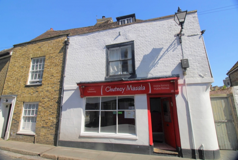
2. Yellow brick houses, 2 storeys with parapet gutter and tiled roofs. Dormer window to No 18. Flat brick arches over box sashes, glazing bars missing to No 18, and intact in No 20 forming 18 squares. Flush panel door and doorcase.
Listing NGR: TR3299858261
External links are from the relevant listing authority and, where applicable, Wikidata. Wikidata IDs may be related buildings as well as this specific building. If you want to add or update a link, you will need to do so by editing the Wikidata entry.


Other nearby listed buildings