Latitude: 51.0727 / 51°4'21"N
Longitude: 1.1398 / 1°8'23"E
OS Eastings: 620052
OS Northings: 135067
OS Grid: TR200350
Mapcode National: GBR V0P.M0J
Mapcode Global: FRA F688.XJR
Plus Code: 9F3334FQ+3W
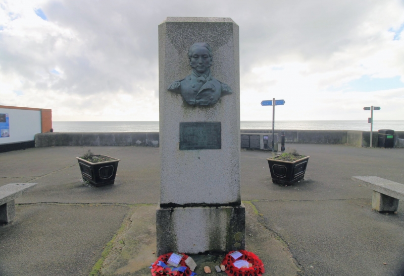
Entry Name: Memorial to Sir John Moore
Listing Date: 11 March 1975
Grade: II
Source: Historic England
Source ID: 1344165
English Heritage Legacy ID: 175366
ID on this website: 101344165
Location: Sandgate, Folkestone and Hythe, Kent, CT20
County: Kent
District: Folkestone and Hythe
Civil Parish: Sandgate
Built-Up Area: Folkestone
Traditional County: Kent
Lieutenancy Area (Ceremonial County): Kent
Tagged with: War memorial
1.3 5281 HIGH STREET (South Side) SANDGATE Memorial to Sir John Moore TR 2035 SW 8/172 II 2. Erected in 1909. Built of reconstituted stone with bronze bust and plaque. The hero of Corunna lived close to the site of the memorial when in command of the Shomcliffe camp in 1803-4.
Listing NGR: TR2005235067
External links are from the relevant listing authority and, where applicable, Wikidata. Wikidata IDs may be related buildings as well as this specific building. If you want to add or update a link, you will need to do so by editing the Wikidata entry.


Other nearby listed buildings