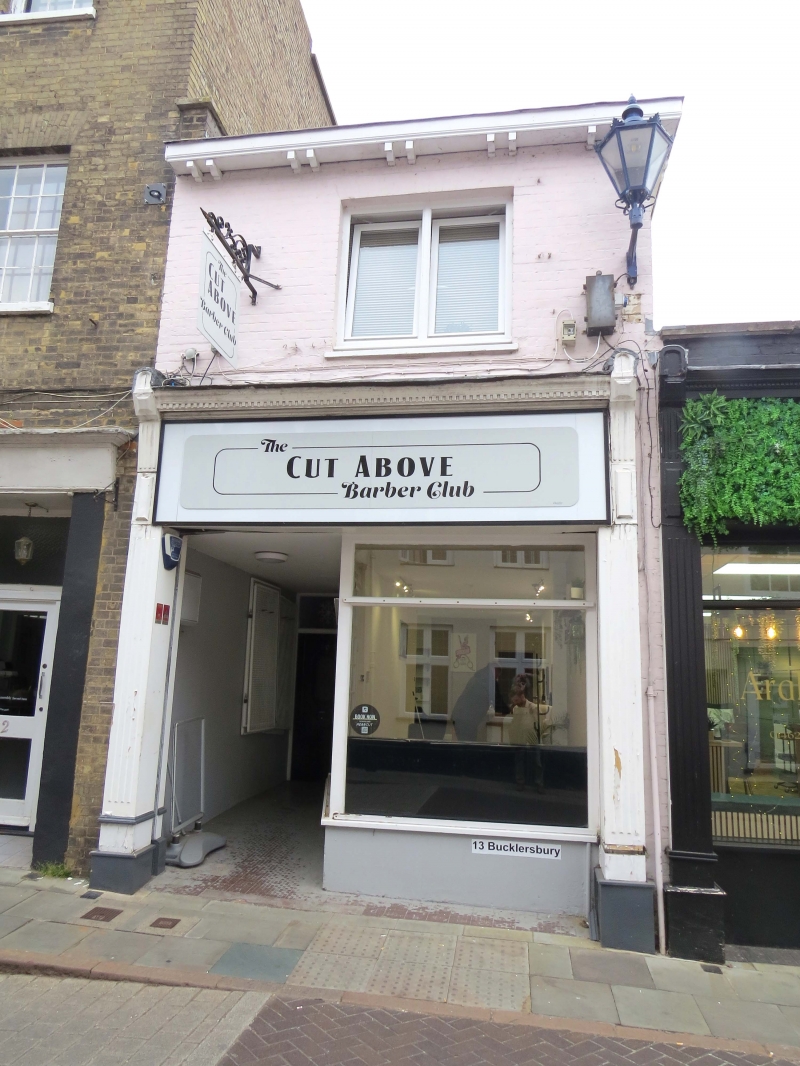
Latitude: 51.9465 / 51°56'47"N
Longitude: -0.2793 / 0°16'45"W
OS Eastings: 518364
OS Northings: 228954
OS Grid: TL183289
Mapcode National: GBR H5W.VLX
Mapcode Global: VHGNS.3BQN
Plus Code: 9C3XWPWC+J7
Entry Name: 13, Bucklersbury
Listing Date: 17 June 1974
Grade: II
Source: Historic England
Source ID: 1347563
English Heritage Legacy ID: 161454
ID on this website: 101347563
Location: Hitchin, North Hertfordshire, SG5
County: Hertfordshire
District: North Hertfordshire
Electoral Ward/Division: Hitchin Highbury
Parish: Non Civil Parish
Built-Up Area: Hitchin
Traditional County: Hertfordshire
Lieutenancy Area (Ceremonial County): Hertfordshire
Church of England Parish: Hitchin
Church of England Diocese: St.Albans
Tagged with: Building
1. 5255 BUCKLERSBURY (East Side) No 13 TL1828 W 2/221
II GV
2. Mid C19. Painted brick, low pitched hipned Welsh slated roof with paired brackets to wide eaves cornice. 2 storeys, C19 shop window, first floor Casement window with glazing bars under flat arch. Included for group value.
Nos 7 TO 13 (consec) form a group.
Listing NGR: TL1836428954
External links are from the relevant listing authority and, where applicable, Wikidata. Wikidata IDs may be related buildings as well as this specific building. If you want to add or update a link, you will need to do so by editing the Wikidata entry.


Other nearby listed buildings