Latitude: 51.7551 / 51°45'18"N
Longitude: -0.0147 / 0°0'52"W
OS Eastings: 537130
OS Northings: 208130
OS Grid: TL371081
Mapcode National: GBR KC6.WN5
Mapcode Global: VHGPW.P4LW
Plus Code: 9C3XQX4P+24
Entry Name: The Orangery
Listing Date: 7 September 1970
Last Amended: 8 November 1983
Grade: II
Source: Historic England
Source ID: 1348406
English Heritage Legacy ID: 157510
ID on this website: 101348406
Location: Spitalbrook, Broxbourne, Hertfordshire, EN11
County: Hertfordshire
District: Broxbourne
Electoral Ward/Division: Broxbourne and Hoddesdon South
Parish: Non Civil Parish
Built-Up Area: Hoddesdon
Traditional County: Hertfordshire
Lieutenancy Area (Ceremonial County): Hertfordshire
Church of England Parish: Broxbourne with Wormley
Church of England Diocese: St.Albans
Tagged with: Orangery
1. 5251 HODDESDON WOODLANDS CLOSE (north side) Hoddesdon The Orangery TL 3708 SW 6c/51 7.9.70 (Formerly listed as Garden House to "Woodlands" under High Street) II GV
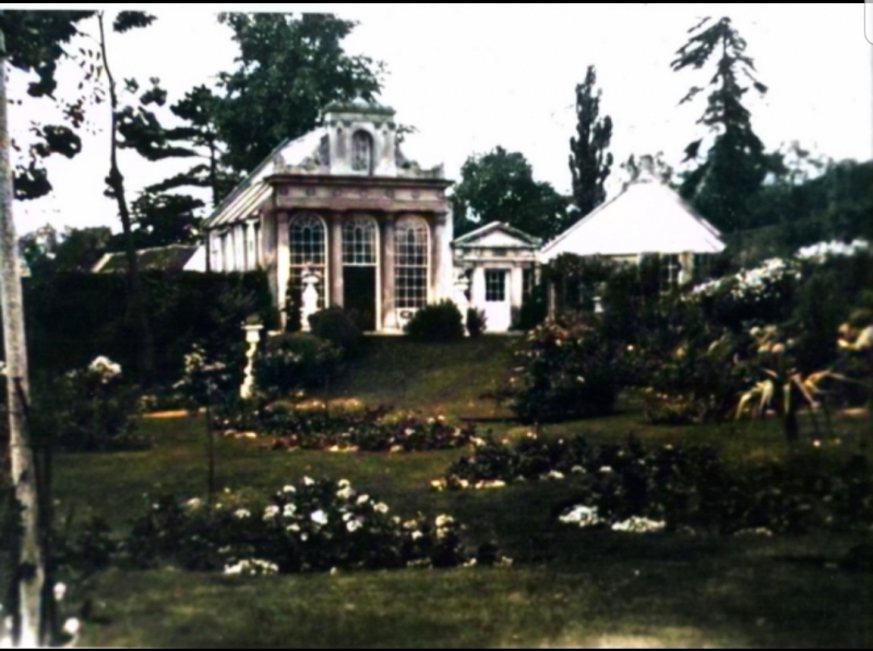
2. Early C19 former orangery to The Woodlands, now cottage. Yellow stock brick, machine tile roof. Stuccoed E elevation has ¾ composite columns with palmete capitals, entablature with wreath motif, and raised central attic with paired Corinthian pilasters and arched centre. Corner acroteria. Relieving arches between columns, door on S approached by curved steps with wrought iron railings. S elevation has modern casements and hipped roof dormers. 2, stuccoed square piers with octagonal moulded bases and capitals to front patio.
Listing NGR: TL3713008130
External links are from the relevant listing authority and, where applicable, Wikidata. Wikidata IDs may be related buildings as well as this specific building. If you want to add or update a link, you will need to do so by editing the Wikidata entry.


Other nearby listed buildings