Latitude: 50.8444 / 50°50'39"N
Longitude: 0.4781 / 0°28'41"E
OS Eastings: 574558
OS Northings: 107916
OS Grid: TQ745079
Mapcode National: GBR PX6.TZT
Mapcode Global: FRA C6WV.XRZ
Plus Code: 9F22RFVH+Q6
Entry Name: The Grange
Listing Date: 2 July 1971
Grade: II
Source: Historic England
Source ID: 1352845
English Heritage Legacy ID: 292018
ID on this website: 101352845
Location: Old Town, Rother, East Sussex, TN40
County: East Sussex
District: Rother
Electoral Ward/Division: Sackville
Parish: Bexhill-on-Sea
Built-Up Area: Bexhill
Traditional County: Sussex
Lieutenancy Area (Ceremonial County): East Sussex
Church of England Parish: Bexhill
Church of England Diocese: Chichester
Tagged with: Building
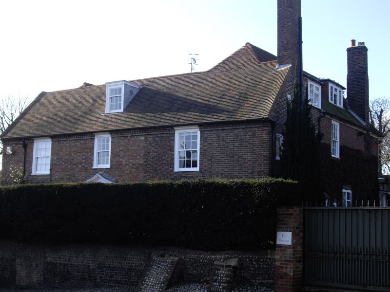
1. UPPER SEA ROAD
5207 Old Town
The Grange
TQ 7407 NE 2/20A 2.7.71.
II
2.
L-shaped C18 house. 2 storeys. 3 windows. Red brick and grey headers. Tiled
roof. Glazing bars intact. Doorway with concave pediment and door of 6 moulded
and fielded panels.
Listing NGR: TQ7455807916
External links are from the relevant listing authority and, where applicable, Wikidata. Wikidata IDs may be related buildings as well as this specific building. If you want to add or update a link, you will need to do so by editing the Wikidata entry.


Other nearby listed buildings