Latitude: 51.0951 / 51°5'42"N
Longitude: 0.0404 / 0°2'25"E
OS Eastings: 542974
OS Northings: 134842
OS Grid: TQ429348
Mapcode National: GBR LNQ.C0G
Mapcode Global: FRA B6Z7.7KV
Plus Code: 9F3232WR+25
Entry Name: Firbank
Listing Date: 31 December 1982
Grade: II
Source: Historic England
Source ID: 1353506
English Heritage Legacy ID: 296055
ID on this website: 101353506
Location: Forest Row, Wealden, East Sussex, RH18
County: East Sussex
District: Wealden
Civil Parish: Forest Row
Built-Up Area: Forest Row
Traditional County: Sussex
Lieutenancy Area (Ceremonial County): East Sussex
Church of England Parish: Forest Row
Church of England Diocese: Chichester
Tagged with: Building
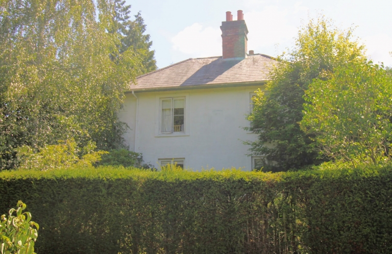
FOREST ROW HARTFIELD ROAD 1. 5208 Firbank TQ 43 SW 11/4 II 2. The date 1779 has been painted on this house, but the exterior probably dates from about 1810-20. Two storeys. Three windows. Painted brick. Eaves cornice. Hipped slate roof. Casement windows with Venetian shutters. Gabled wooden porch on north front.
Listing NGR: TQ4297434842
External links are from the relevant listing authority and, where applicable, Wikidata. Wikidata IDs may be related buildings as well as this specific building. If you want to add or update a link, you will need to do so by editing the Wikidata entry.


Other nearby listed buildings